Alabama Counties SVG Map
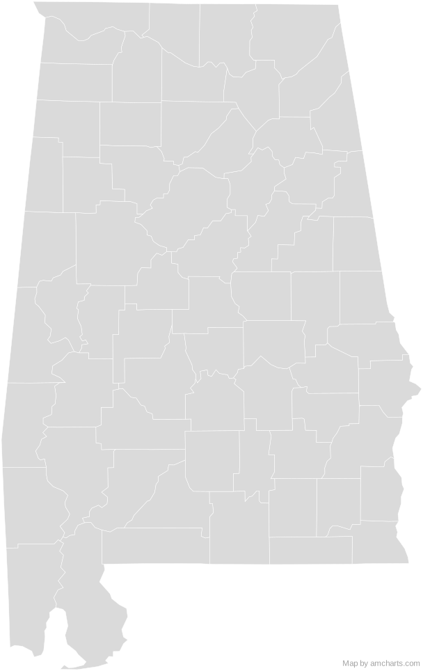
Free Alabama Counties SVG map with 67 counties, in Mercator projection, high and low detail.
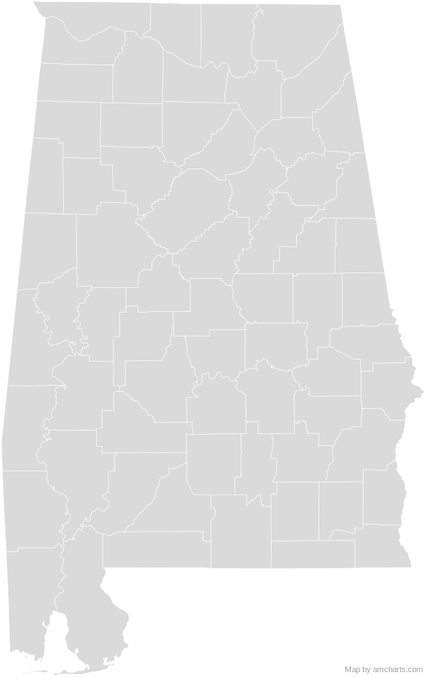
Free for any use, commercial projects included, as long as you keep the amCharts credit (CC BY 4.0).
All 427 maps, no credit needed: $99 Every SVG map in one ZIP, royalty-free, with updates.67 regions, named and coded.
- Autauga
01001 - Baldwin
01003 - Barbour
01005 - Bibb
01007 - Blount
01009 - Bullock
01011 - Butler
01013 - Calhoun
01015 - Chambers
01017 - Cherokee
01019 - Chilton
01021 - Choctaw
01023 - Clarke
01025 - Clay
01027 - Cleburne
01029 - Coffee
01031 - Colbert
01033 - Conecuh
01035 - Coosa
01037 - Covington
01039 - Crenshaw
01041 - Cullman
01043 - Dale
01045 - Dallas
01047 - DeKalb
01049 - Elmore
01051 - Escambia
01053 - Etowah
01055 - Fayette
01057 - Franklin
01059 - Geneva
01061 - Greene
01063 - Hale
01065 - Henry
01067 - Houston
01069 - Jackson
01071 - Jefferson
01073 - Lamar
01075 - Lauderdale
01077 - Lawrence
01079 - Lee
01081 - Limestone
01083 - Lowndes
01085 - Macon
01087 - Madison
01089 - Marengo
01091 - Marion
01093 - Marshall
01095 - Mobile
01097 - Monroe
01099 - Montgomery
01101 - Morgan
01103 - Perry
01105 - Pickens
01107 - Pike
01109 - Randolph
01111 - Russell
01113 - Saint Clair
01115 - Shelby
01117 - Sumter
01119 - Talladega
01121 - Tallapoosa
01123 - Tuscaloosa
01125 - Walker
01127 - Washington
01129 - Wilcox
01131 - Winston
01133
No region matches that.
Need it interactive in your app?
The same map ships with the amCharts 5 library as am5geodata_region_usa_alLow, ready for zoom, tooltips, heat maps and drill-downs. See JavaScript Maps.
import am5geodata from "@amcharts/amcharts5-geodata/region/usa/alLow";

chart.series.push(
  am5map.MapPolygonSeries.new(root, {
    geoJSON: am5geodata
  })
);Around Alabama Counties
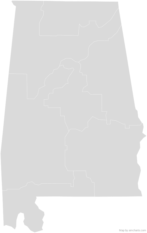
Can I use this map commercially?
Yes, for free, as long as you keep the amCharts credit (CC BY 4.0). To use maps without the credit, get the SVG Maps pack: all 427 maps for $99, one payment.
Which projection is it in?
Mercator, fitted to the map's own bounds. For Equal Earth, Albers, orthographic and others, use the SVG Map Generator.
How are the regions identified?
Each region is its own <path> with an id (the ISO code where one exists) and a data-name, so you can style or script it directly.
Will it open in Figma, Illustrator or Inkscape?
Yes. It is plain SVG: no scripts, fonts or external references.