Chiapas Municipalities SVG Map
Free Chiapas Municipalities SVG map with 118 municipalities, in Mercator projection, high and low detail.
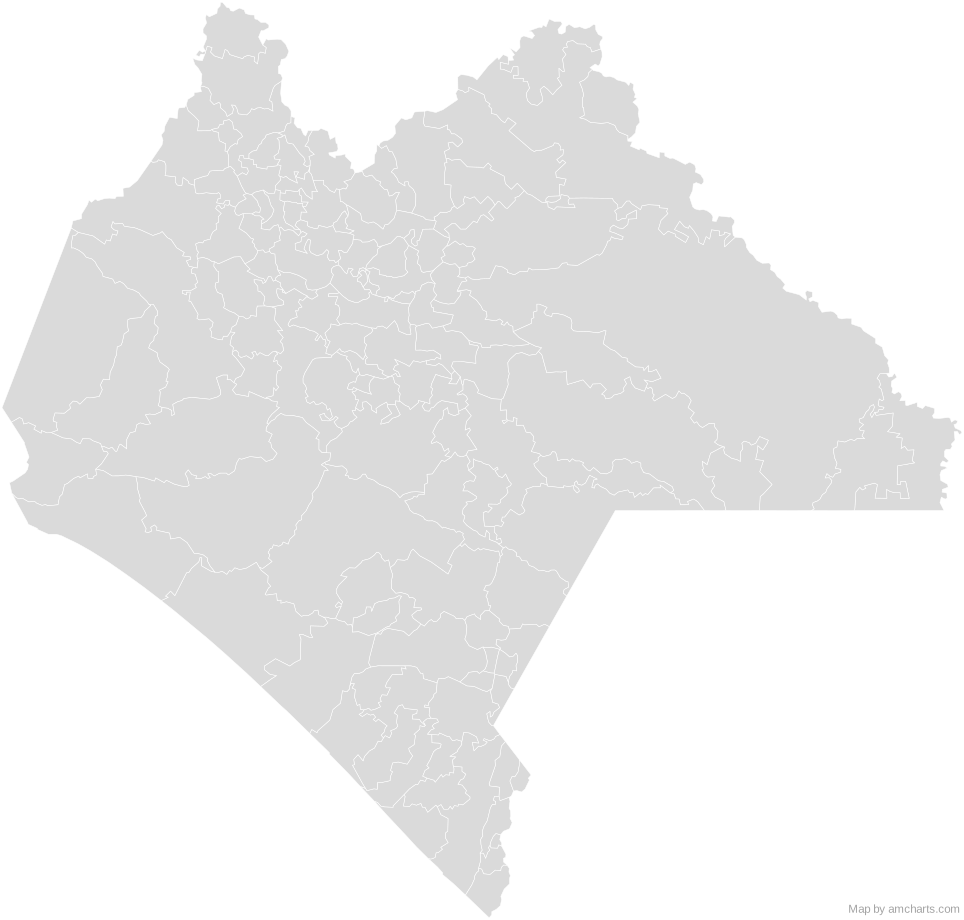
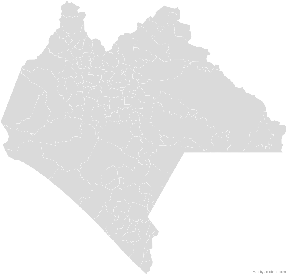
Free for any use, commercial projects included, as long as you keep the amCharts credit (CC BY 4.0).
All 427 maps, no credit needed: $99 Every SVG map in one ZIP, royalty-free, with updates.118 regions, named and coded.
- Acacoyagua
07001 - Acala
07002 - Acapetahua
07003 - Aldama
07113 - Altamirano
07004 - Amatán
07005 - Amatenango de la Frontera
07006 - Amatenango del Valle
07007 - Angel Albino Corzo
07008 - Arriaga
07009 - Bejucal de Ocampo
07010 - Bella Vista
07011 - Benemérito de las Américas
07114 - Berriozábal
07012 - Bochil
07013 - Cacahoatán
07015 - Catazajá
07016 - Chalchihuitán
07022 - Chamula
07023 - Chanal
07024 - Chapultenango
07025 - Chenalhó
07026 - Chiapa de Corzo
07027 - Chiapilla
07028 - Chicoasén
07029 - Chicomuselo
07030 - Chilón
07031 - Cintalapa
07017 - Coapilla
07018 - Comitán de Domínguez
07019 - Copainalá
07021 - El Bosque
07014 - El Porvenir
07070 - Escuintla
07032 - Francisco León
07033 - Frontera Comalapa
07034 - Frontera Hidalgo
07035 - Huehuetán
07037 - Huitiupán
07039 - Huixtán
07038 - Huixtla
07040 - Ixhuatán
07042 - Ixtacomitán
07043 - Ixtapa
07044 - Ixtapangajoya
07045 - Jiquipilas
07046 - Jitotol
07047 - Juárez
07048 - La Concordia
07020 - La Grandeza
07036 - La Independencia
07041 - La Libertad
07050 - La Trinitaria
07099 - Larráinzar
07049 - Las Margaritas
07052 - Las Rosas
07075 - Mapastepec
07051 - Maravilla Tenejapa
07115 - Marqués de Comillas
07116 - Mazapa de Madero
07053 - Mazatán
07054 - Metapa
07055 - Mitontic
07056 - Montecristo de Guerrero
07117 - Motozintla
07057 - Nicolás Ruíz
07058 - Ocosingo
07059 - Ocotepec
07060 - Ocozocoautla de Espinosa
07061 - Ostuacán
07062 - Osumacinta
07063 - Oxchuc
07064 - Palenque
07065 - Pantelhó
07066 - Pantepec
07067 - Pichucalco
07068 - Pijijiapan
07069 - Pueblo Nuevo Solistahuacán
07072 - Rayón
07073 - Reforma
07074 - Sabanilla
07076 - Salto de Agua
07077 - San Andrés Duraznal
07118 - San Cristóbal de las Casas
07078 - San Fernando
07079 - San Juan Cancuc
07112 - San Lucas
07110 - Santiago el Pinar
07119 - Siltepec
07080 - Simojovel
07081 - Sitalá
07082 - Socoltenango
07083 - Solosuchiapa
07084 - Soyaló
07085 - Suchiapa
07086 - Suchiate
07087 - Sunuapa
07088 - Tapachula
07089 - Tapalapa
07090 - Tapilula
07091 - Tecpatán
07092 - Tenejapa
07093 - Teopisca
07094 - Tila
07096 - Tonalá
07097 - Totolapa
07098 - Tumbalá
07100 - Tuxtla Chico
07102 - Tuxtla Gutiérrez
07101 - Tuzantán
07103 - Tzimol
07104 - Unión Juárez
07105 - Venustiano Carranza
07106 - Villa Comaltitlán
07071 - Villa Corzo
07107 - Villaflores
07108 - Yajalón
07109 - Zinacantán
07111
No region matches that.
Need it interactive in your app?
The same map ships with the amCharts 5 library as am5geodata_region_mexico_chpLow, ready for zoom, tooltips, heat maps and drill-downs. See JavaScript Maps.
import am5geodata from "@amcharts/amcharts5-geodata/region/mexico/chpLow";

chart.series.push(
  am5map.MapPolygonSeries.new(root, {
    geoJSON: am5geodata
  })
);Around Chiapas Municipalities
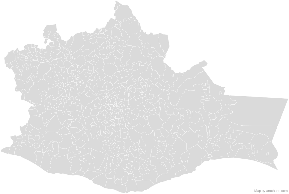 Oaxaca MunicipalitiesMexico Municipalities
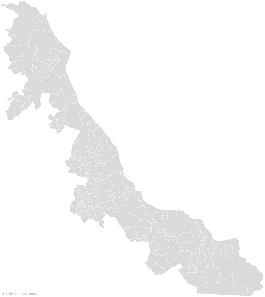 Veracruz MunicipalitiesMexico Municipalities
 Campeche MunicipalitiesMexico Municipalities
 Tabasco MunicipalitiesMexico Municipalities
 Quintana Roo MunicipalitiesMexico Municipalities
 Yucatan MunicipalitiesMexico Municipalities
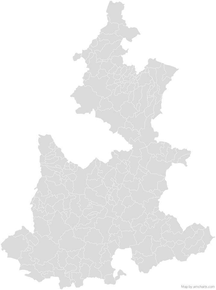 Puebla MunicipalitiesMexico Municipalities
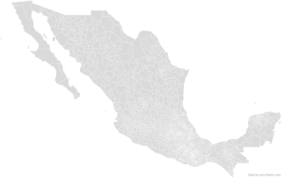 Mexico Municipalities
Can I use this map commercially?
Yes, for free, as long as you keep the amCharts credit (CC BY 4.0). To use maps without the credit, get the SVG Maps pack: all 427 maps for $99, one payment.
Which projection is it in?
Mercator, fitted to the map's own bounds. For Equal Earth, Albers, orthographic and others, use the SVG Map Generator.
How are the regions identified?
Each region is its own <path> with an id (the ISO code where one exists) and a data-name, so you can style or script it directly.
Will it open in Figma, Illustrator or Inkscape?
Yes. It is plain SVG: no scripts, fonts or external references.