Chihuahua Municipalities SVG Map
Free Chihuahua Municipalities SVG map with 67 municipalities, in Mercator projection, high and low detail.
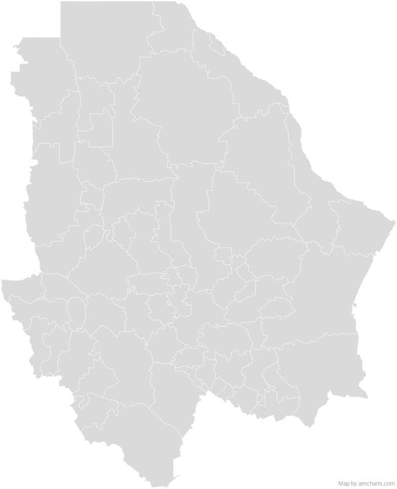
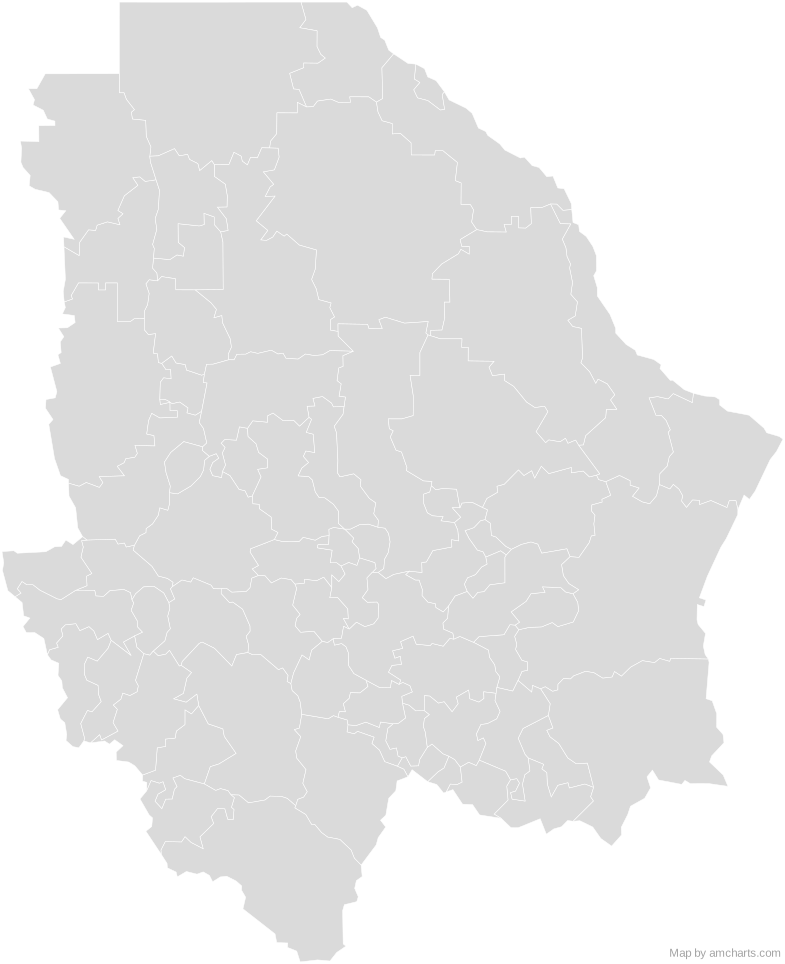
Free for any use, commercial projects included, as long as you keep the amCharts credit (CC BY 4.0).
All 427 maps, no credit needed: $99 Every SVG map in one ZIP, royalty-free, with updates.67 regions, named and coded.
- Ahumada
08001 - Aldama
08002 - Allende
08003 - Aquiles Serdán
08004 - Ascensión
08005 - Bachíniva
08006 - Balleza
08007 - Batopilas
08008 - Bocoyna
08009 - Buenaventura
08010 - Camargo
08011 - Carichí
08012 - Casas Grandes
08013 - Chihuahua
08019 - Chínipas
08020 - Coronado
08014 - Coyame del Sotol
08015 - Cuauhtémoc
08017 - Cusihuiriachi
08018 - Delicias
08021 - Dr. Belisario Domínguez
08022 - El Tule
08064 - Galeana
08023 - Gómez Farías
08025 - Gran Morelos
08026 - Guachochi
08027 - Guadalupe
08028 - Guadalupe y Calvo
08029 - Guazapares
08030 - Guerrero
08031 - Hidalgo del Parral
08032 - Huejotitán
08033 - Ignacio Zaragoza
08034 - Janos
08035 - Jiménez
08036 - Juárez
08037 - Julimes
08038 - La Cruz
08016 - López
08039 - Madera
08040 - Maguarichi
08041 - Manuel Benavides
08042 - Matachí
08043 - Matamoros
08044 - Meoqui
08045 - Morelos
08046 - Moris
08047 - Namiquipa
08048 - Nonoava
08049 - Nuevo Casas Grandes
08050 - Ocampo
08051 - Ojinaga
08052 - Praxedis G. Guerrero
08053 - Riva Palacio
08054 - Rosales
08055 - Rosario
08056 - San Francisco de Borja
08057 - San Francisco de Conchos
08058 - San Francisco del Oro
08059 - Santa Bárbara
08060 - Santa Isabel
08024 - Satevó
08061 - Saucillo
08062 - Temósachic
08063 - Urique
08065 - Uruachi
08066 - Valle de Zaragoza
08067
No region matches that.
Need it interactive in your app?
The same map ships with the amCharts 5 library as am5geodata_region_mexico_chhLow, ready for zoom, tooltips, heat maps and drill-downs. See JavaScript Maps.
import am5geodata from "@amcharts/amcharts5-geodata/region/mexico/chhLow";

chart.series.push(
  am5map.MapPolygonSeries.new(root, {
    geoJSON: am5geodata
  })
);Around Chihuahua Municipalities
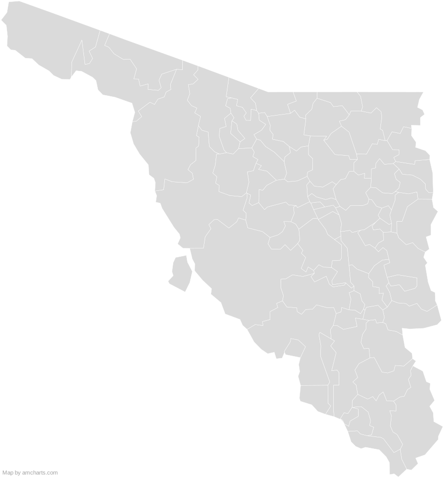 Sonora MunicipalitiesMexico Municipalities
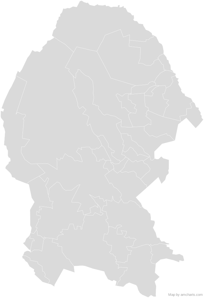 Coahuila MunicipalitiesMexico Municipalities
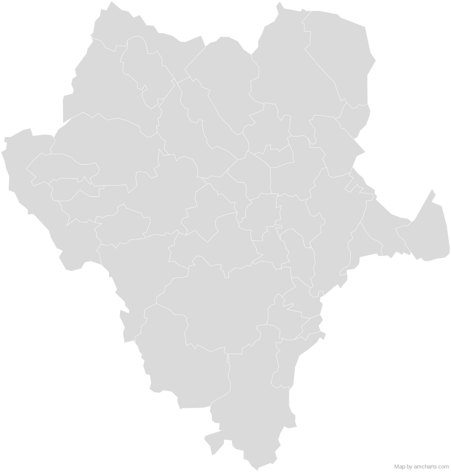 Durango MunicipalitiesMexico Municipalities
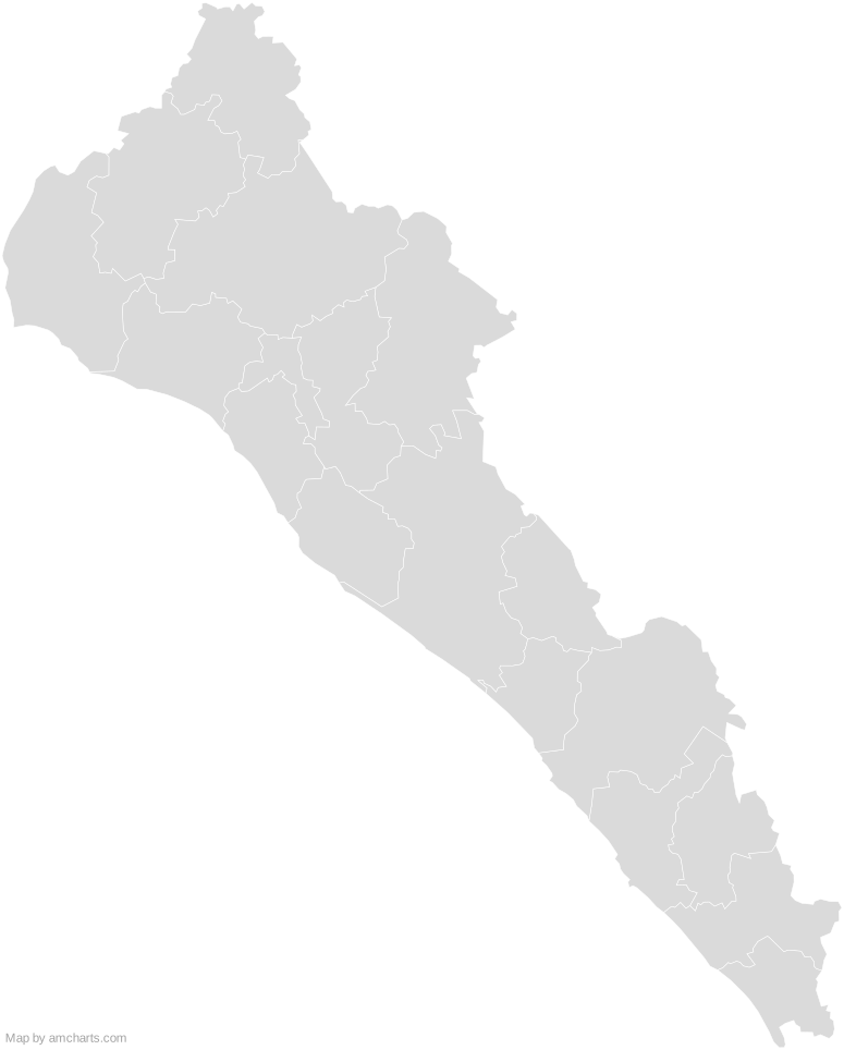 Sinaloa MunicipalitiesMexico Municipalities
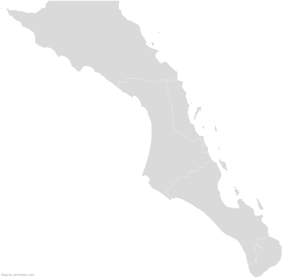 Baja California Sur MunicipalitiesMexico Municipalities
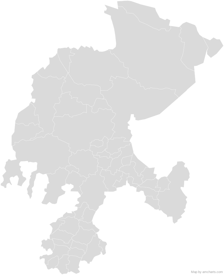 Zacatecas MunicipalitiesMexico Municipalities
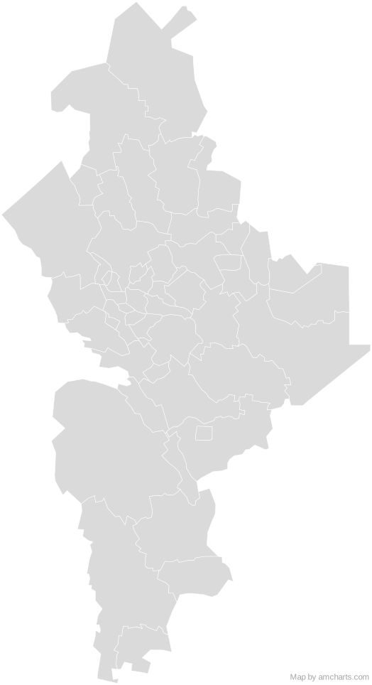 Nuevo Leon MunicipalitiesMexico Municipalities
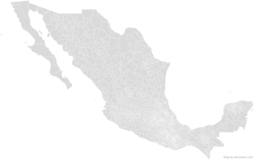 Mexico Municipalities
Can I use this map commercially?
Yes, for free, as long as you keep the amCharts credit (CC BY 4.0). To use maps without the credit, get the SVG Maps pack: all 427 maps for $99, one payment.
Which projection is it in?
Mercator, fitted to the map's own bounds. For Equal Earth, Albers, orthographic and others, use the SVG Map Generator.
How are the regions identified?
Each region is its own <path> with an id (the ISO code where one exists) and a data-name, so you can style or script it directly.
Will it open in Figma, Illustrator or Inkscape?
Yes. It is plain SVG: no scripts, fonts or external references.