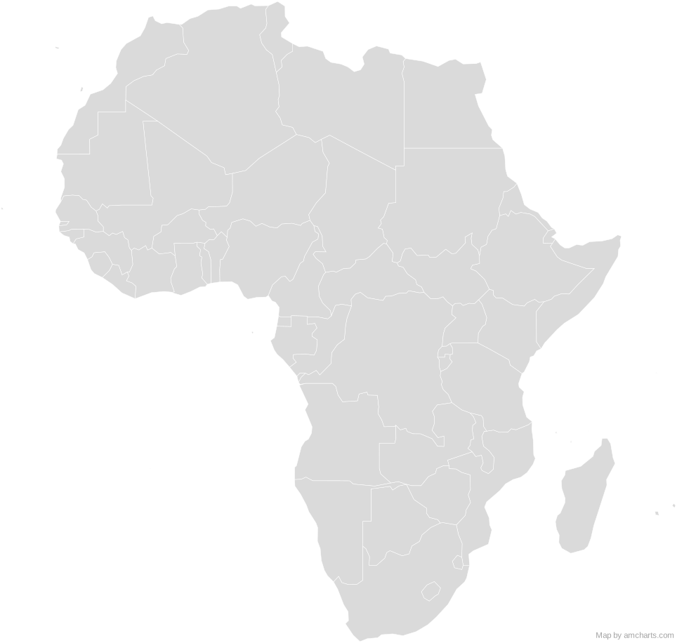
Africa SVG Map
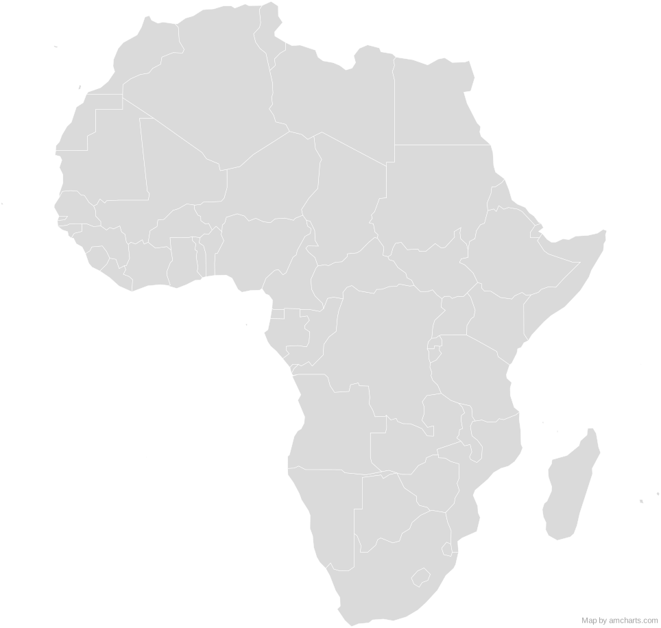
Free Africa SVG map with 62 countries and territories, in Mercator and Equal Earth projections, high and low detail.
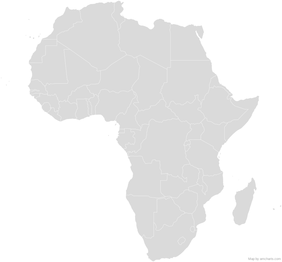
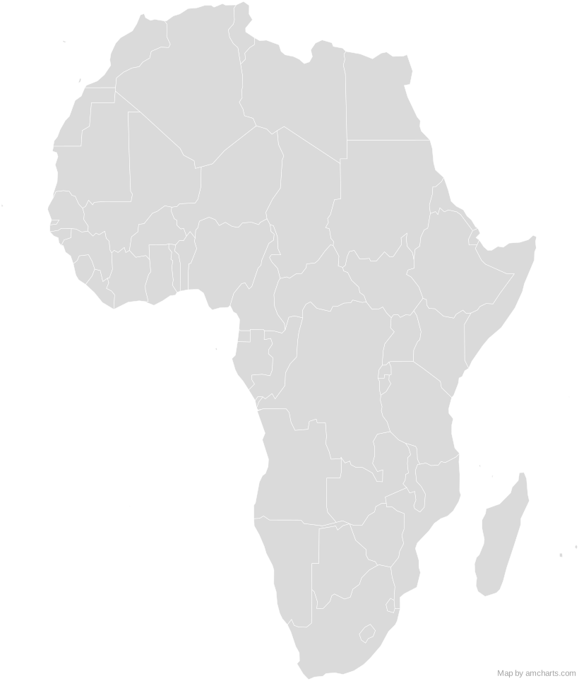
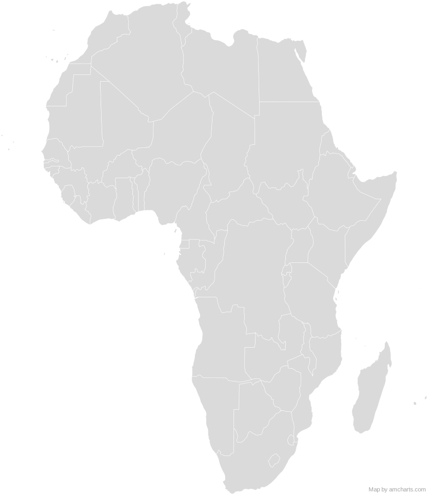
Free for any use, commercial projects included, as long as you keep the amCharts credit (CC BY 4.0).
All 427 maps, no credit needed: $99 Every SVG map in one ZIP, royalty-free, with updates.62 regions, named and coded.
- Algeria
DZ - Angola
AO - Benin
BJ - Botswana
BW - Burkina Faso
BF - Burundi
BI - Cameroon
CM - Canary Islands
ES - Cape Verde
CV - Central African Republic
CF - Chad
TD - Comoros
KM - Côte d'Ivoire
CI - Democratic Republic of Congo
CD - Djibouti
DJ - Egypt
EG - Equatorial Guinea
GQ - Eritrea
ER - Eswatini
SZ - Ethiopia
ET - Gabon
GA - Gambia
GM - Ghana
GH - Glorioso Islands
GO - Guinea
GN - Guinea-Bissau
GW - Juan De Nova Island
JU - Kenya
KE - Lesotho
LS - Liberia
LR - Libya
LY - Madagascar
MG - Madeira
PT - Malawi
MW - Mali
ML - Mauritania
MR - Mauritius
MU - Mayotte
YT - Morocco
MA - Mozambique
MZ - Namibia
NA - Niger
NE - Nigeria
NG - Republic of Congo
CG - Reunion
RE - Rwanda
RW - Saint Helena
SH - Sao Tome and Principe
ST - Senegal
SN - Seychelles
SC - Sierra Leone
SL - Somalia
SO - South Africa
ZA - South Sudan
SS - Sudan
SD - Tanzania
TZ - Togo
TG - Tunisia
TN - Uganda
UG - Western Sahara
EH - Zambia
ZM - Zimbabwe
ZW
No region matches that.
Need it interactive in your app?
The same map ships with the amCharts 5 library as am5geodata_region_world_africaLow, ready for zoom, tooltips, heat maps and drill-downs. See JavaScript Maps.
import am5geodata from "@amcharts/amcharts5-geodata/region/world/africaLow";

chart.series.push(
  am5map.MapPolygonSeries.new(root, {
    geoJSON: am5geodata
  })
);
import am5geodata from "@amcharts/amcharts5-geodata/region/world/africaLow";
const chart = root.container.children.push(
am5map.MapChart.new(root, {
projection: am5map.geoEqualEarth()
})
);
chart.series.push(
am5map.MapPolygonSeries.new(root, {
geoJSON: am5geodata
})
);
Can I use this map commercially?
Yes, for free, as long as you keep the amCharts credit (CC BY 4.0). To use maps without the credit, get the SVG Maps pack: all 427 maps for $99, one payment.
Which projection is it in?
Mercator or Equal Earth, each fitted to the map's own bounds: switch between them with the Projection buttons. For Albers, orthographic and others, use the SVG Map Generator.
How are the regions identified?
Each region is its own <path> with an id (the ISO code where one exists) and a data-name, so you can style or script it directly.
Will it open in Figma, Illustrator or Inkscape?
Yes. It is plain SVG: no scripts, fonts or external references.