Europe SVG Map
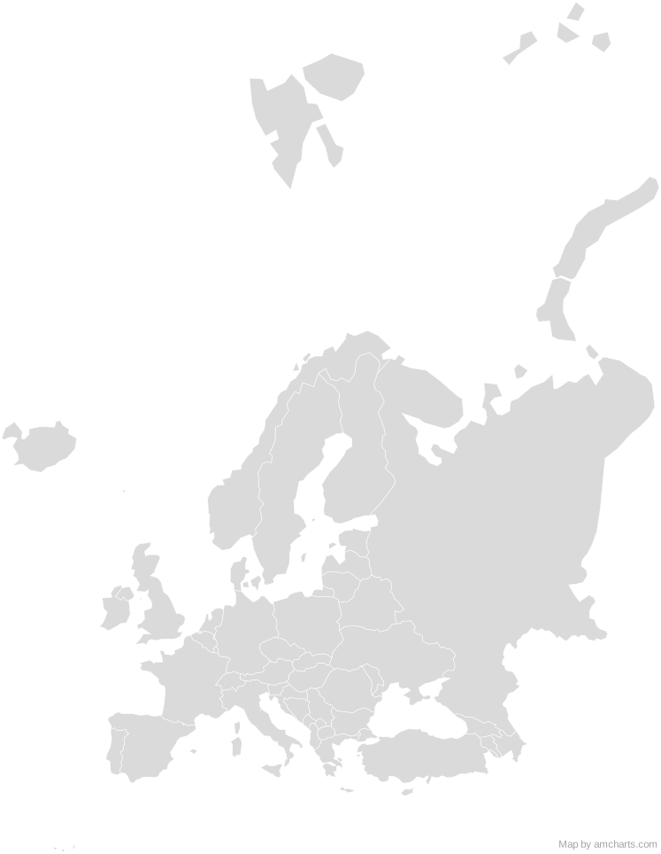
Free Europe SVG map with 57 countries and territories, in Mercator and Equal Earth projections, high and low detail.
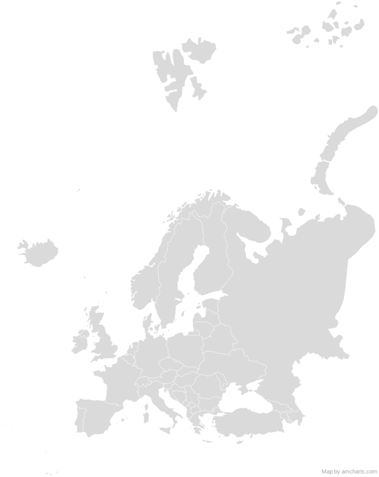
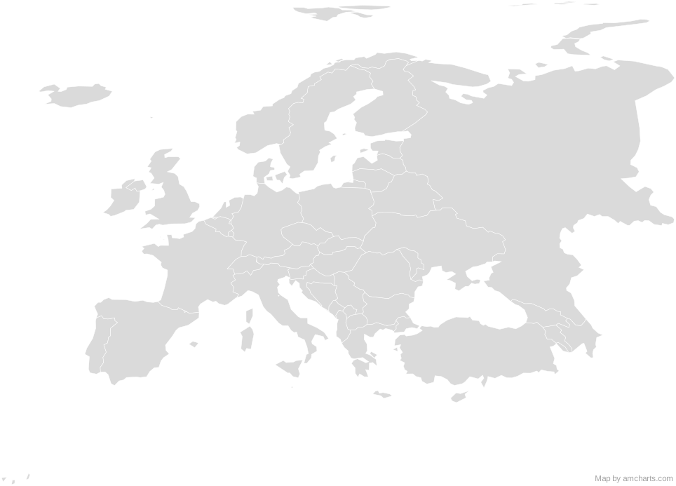
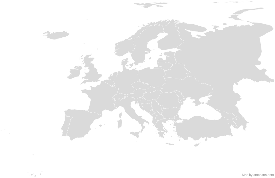
Free for any use, commercial projects included, as long as you keep the amCharts credit (CC BY 4.0).
All 427 maps, no credit needed: $99 Every SVG map in one ZIP, royalty-free, with updates.57 regions, named and coded.
- Aland Islands
AX - Albania
AL - Andorra
AD - Armenia
AM - Austria
AT - Azerbaijan
AZ - Belarus
BY - Belgium
BE - Bosnia and Herzegovina
BA - Bulgaria
BG - Croatia
HR - Cyprus
CY - Czechia
CZ - Denmark
DK - Estonia
EE - Faroe Islands
FO - Finland
FI - France
FR - Georgia
GE - Germany
DE - Gibraltar
GI - Greece
GR - Guernsey
GG - Hungary
HU - Iceland
IS - Ireland
IE - Isle of Man
IM - Italy
IT - Jersey
JE - Kosovo
XK - Latvia
LV - Liechtenstein
LI - Lithuania
LT - Luxembourg
LU - Malta
MT - Moldova
MD - Monaco
MC - Montenegro
ME - Netherlands
NL - North Macedonia
MK - Norway
NO - Poland
PL - Portugal
PT - Romania
RO - Russia
RU - San Marino
SM - Serbia
RS - Slovakia
SK - Slovenia
SI - Spain
ES - Svalbard and Jan Mayen
SJ - Sweden
SE - Switzerland
CH - Türkiye
TR - Ukraine
UA - United Kingdom
GB - Vatican City
VA
No region matches that.
Need it interactive in your app?
The same map ships with the amCharts 5 library as am5geodata_region_world_europeLow, ready for zoom, tooltips, heat maps and drill-downs. See JavaScript Maps.
import am5geodata from "@amcharts/amcharts5-geodata/region/world/europeLow";

chart.series.push(
  am5map.MapPolygonSeries.new(root, {
    geoJSON: am5geodata
  })
);
import am5geodata from "@amcharts/amcharts5-geodata/region/world/europeLow";
const chart = root.container.children.push(
am5map.MapChart.new(root, {
projection: am5map.geoEqualEarth()
})
);
chart.series.push(
am5map.MapPolygonSeries.new(root, {
geoJSON: am5geodata
})
);
Can I use this map commercially?
Yes, for free, as long as you keep the amCharts credit (CC BY 4.0). To use maps without the credit, get the SVG Maps pack: all 427 maps for $99, one payment.
Which projection is it in?
Mercator or Equal Earth, each fitted to the map's own bounds: switch between them with the Projection buttons. For Albers, orthographic and others, use the SVG Map Generator.
How are the regions identified?
Each region is its own <path> with an id (the ISO code where one exists) and a data-name, so you can style or script it directly.
Will it open in Figma, Illustrator or Inkscape?
Yes. It is plain SVG: no scripts, fonts or external references.