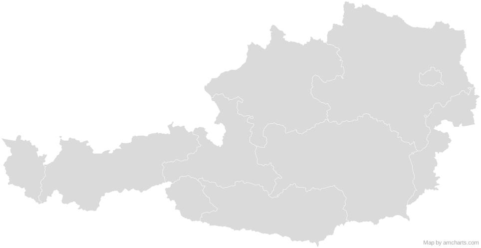
Free Austria SVG map with 9 states, in Mercator projection, high and low detail.
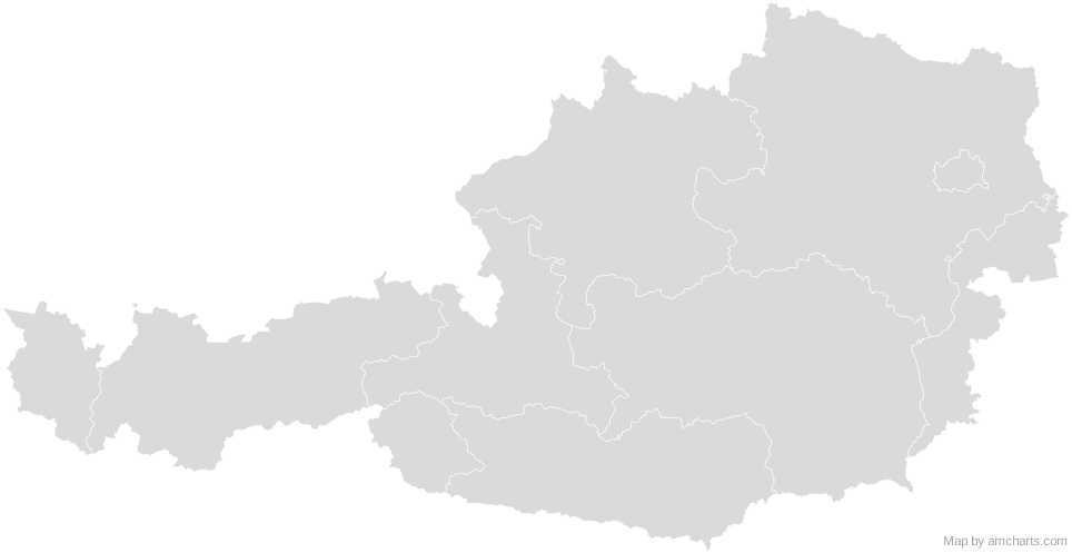
Free for any use, commercial projects included, as long as you keep the amCharts credit (CC BY 4.0).
All 427 maps, no credit needed: $99 Every SVG map in one ZIP, royalty-free, with updates.AT-1AT-2AT-3AT-5AT-6AT-7AT-4AT-9AT-8No region matches that.
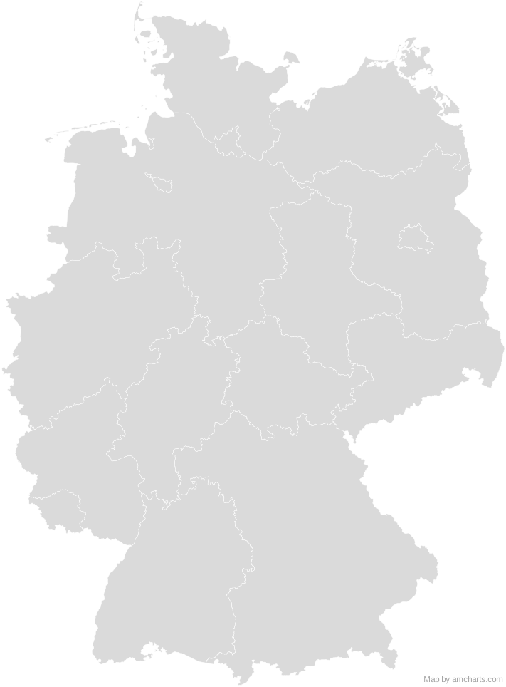
The same map ships with the amCharts 5 library as am5geodata_austriaLow, ready for zoom, tooltips, heat maps and drill-downs. See JavaScript Maps.
import am5geodata from "@amcharts/amcharts5-geodata/austriaLow";
chart.series.push(
am5map.MapPolygonSeries.new(root, {
geoJSON: am5geodata
})
);Yes, for free, as long as you keep the amCharts credit (CC BY 4.0). To use maps without the credit, get the SVG Maps pack: all 427 maps for $99, one payment.
Mercator, fitted to the map's own bounds. For Equal Earth, Albers, orthographic and others, use the SVG Map Generator.
Each region is its own <path> with an id (the ISO code where one exists) and a data-name, so you can style or script it directly.
Yes. It is plain SVG: no scripts, fonts or external references.