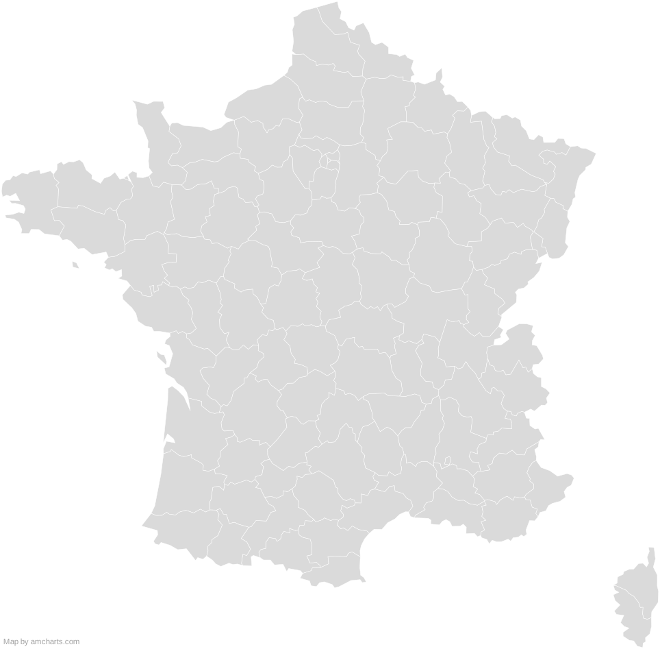
France (Departments) SVG Map
Free France (Departments) SVG map with 96 administrative areas, in Mercator projection, high and low detail.
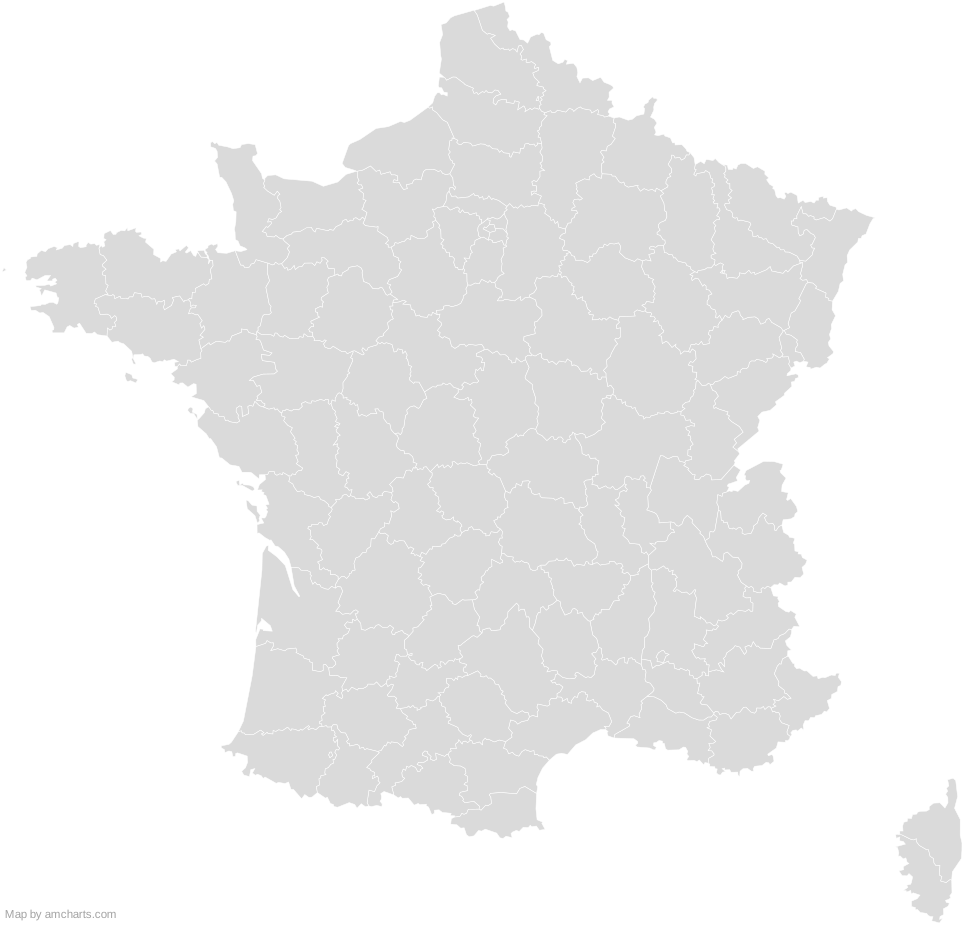
Free for any use, commercial projects included, as long as you keep the amCharts credit (CC BY 4.0).
All 427 maps, no credit needed: $99 Every SVG map in one ZIP, royalty-free, with updates.96 regions, named and coded.
- Ain
FR-01 - Aisne
FR-02 - Allier
FR-03 - Alpes-de-Haute-Provence
FR-04 - Alpes-Maritimes
FR-06 - Ardèche
FR-07 - Ardennes
FR-08 - Ariège
FR-09 - Aube
FR-10 - Aude
FR-11 - Aveyron
FR-12 - Bas-Rhin
FR-67 - Bouches-du-Rhône
FR-13 - Calvados
FR-14 - Cantal
FR-15 - Charente
FR-16 - Charente-Maritime
FR-17 - Cher
FR-18 - Corrèze
FR-19 - Corse-du-Sud
FR-2A - Côte-d'Or
FR-21 - Côtes-d'Armor
FR-22 - Creuse
FR-23 - Deux-Sèvres
FR-79 - Dordogne
FR-24 - Doubs
FR-25 - Drôme
FR-26 - Essonne
FR-91 - Eure
FR-27 - Eure-et-Loir
FR-28 - Finistère
FR-29 - Gard
FR-30 - Gers
FR-32 - Gironde
FR-33 - Haut-Rhin
FR-68 - Haute-Corse
FR-2B - Haute-Garonne
FR-31 - Haute-Loire
FR-43 - Haute-Marne
FR-52 - Haute-Saône
FR-70 - Haute-Savoie
FR-74 - Haute-Vienne
FR-87 - Hautes-Alpes
FR-05 - Hautes-Pyrénées
FR-65 - Hauts-de-Seine
FR-92 - Hérault
FR-34 - Ille-et-Vilaine
FR-35 - Indre
FR-36 - Indre-et-Loire
FR-37 - Isère
FR-38 - Jura
FR-39 - Landes
FR-40 - Loir-et-Cher
FR-41 - Loire
FR-42 - Loire-Atlantique
FR-44 - Loiret
FR-45 - Lot
FR-46 - Lot-et-Garonne
FR-47 - Lozère
FR-48 - Maine-et-Loire
FR-49 - Manche
FR-50 - Marne
FR-51 - Mayenne
FR-53 - Meurthe-et-Moselle
FR-54 - Meuse
FR-55 - Morbihan
FR-56 - Moselle
FR-57 - Nièvre
FR-58 - Nord
FR-59 - Oise
FR-60 - Orne
FR-61 - Paris
FR-75 - Pas-de-Calais
FR-62 - Puy-de-Dôme
FR-63 - Pyrénées-Atlantiques
FR-64 - Pyrénées-Orientales
FR-66 - Rhône
FR-69 - Saône-et-Loire
FR-71 - Sarthe
FR-72 - Savoie
FR-73 - Seine-et-Marne
FR-77 - Seine-Maritime
FR-76 - Seine-St-Denis
FR-93 - Somme
FR-80 - Tarn
FR-81 - Tarn-et-Garonne
FR-82 - Territoire de Belfort
FR-90 - Val-d'Oise
FR-95 - Val-de-Marne
FR-94 - Var
FR-83 - Vaucluse
FR-84 - Vendée
FR-85 - Vienne
FR-86 - Vosges
FR-88 - Yonne
FR-89 - Yvelines
FR-78
No region matches that.
Need it interactive in your app?
The same map ships with the amCharts 5 library as am5geodata_franceDepartmentsLow, ready for zoom, tooltips, heat maps and drill-downs. See JavaScript Maps.
import am5geodata from "@amcharts/amcharts5-geodata/franceDepartmentsLow";

chart.series.push(
  am5map.MapPolygonSeries.new(root, {
    geoJSON: am5geodata
  })
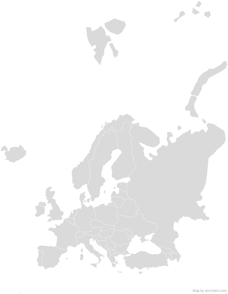
);Around France (Departments)
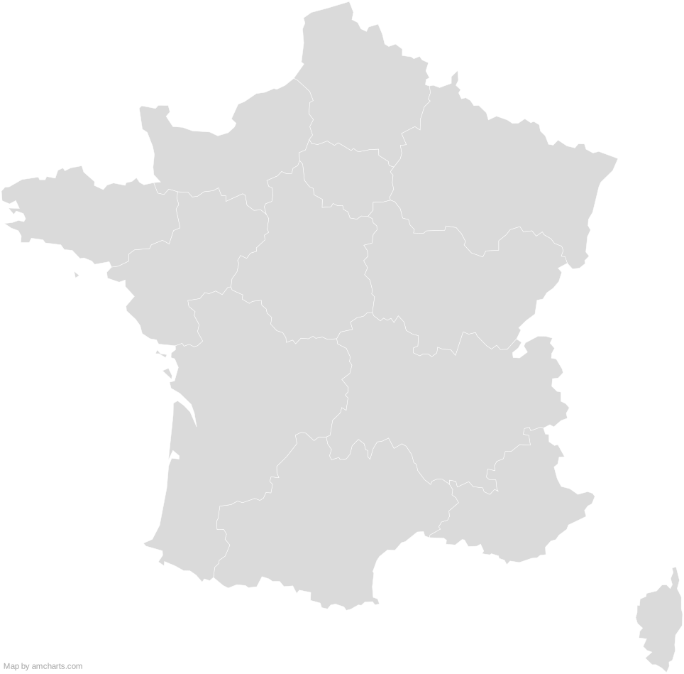
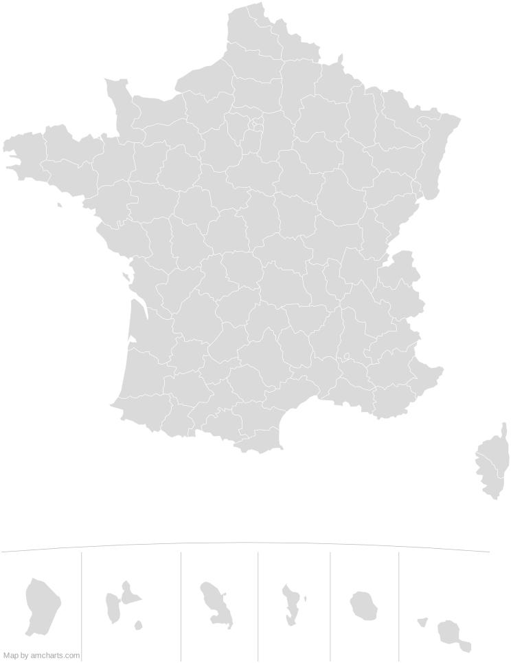
Can I use this map commercially?
Yes, for free, as long as you keep the amCharts credit (CC BY 4.0). To use maps without the credit, get the SVG Maps pack: all 427 maps for $99, one payment.
Which projection is it in?
Mercator, fitted to the map's own bounds. For Equal Earth, Albers, orthographic and others, use the SVG Map Generator.
How are the regions identified?
Each region is its own <path> with an id (the ISO code where one exists) and a data-name, so you can style or script it directly.
Will it open in Figma, Illustrator or Inkscape?
Yes. It is plain SVG: no scripts, fonts or external references.