Hidalgo Municipalities SVG Map
Free Hidalgo Municipalities SVG map with 84 municipalities, in Mercator projection, high and low detail.
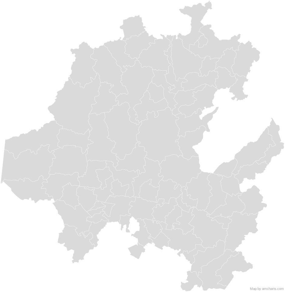
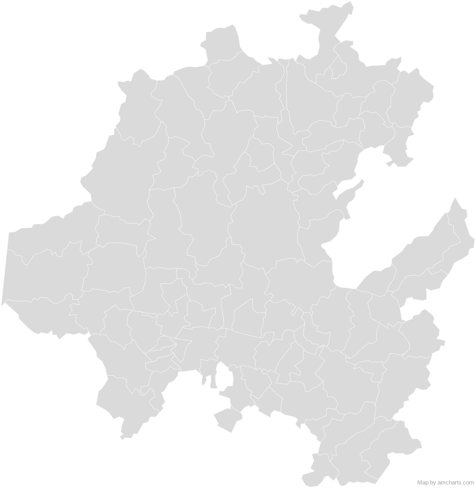
Free for any use, commercial projects included, as long as you keep the amCharts credit (CC BY 4.0).
All 427 maps, no credit needed: $99 Every SVG map in one ZIP, royalty-free, with updates.84 regions, named and coded.
- Acatlán
13001 - Acaxochitlán
13002 - Actopan
13003 - Agua Blanca de Iturbide
13004 - Ajacuba
13005 - Alfajayucan
13006 - Almoloya
13007 - Apan
13008 - Atitalaquia
13010 - Atlapexco
13011 - Atotonilco de Tula
13013 - Atotonilco el Grande
13012 - Calnali
13014 - Cardonal
13015 - Chapantongo
13017 - Chapulhuacán
13018 - Chilcuautla
13019 - Cuautepec de Hinojosa
13016 - El Arenal
13009 - Eloxochitlán
13020 - Emiliano Zapata
13021 - Epazoyucan
13022 - Francisco I. Madero
13023 - Huasca de Ocampo
13024 - Huautla
13025 - Huazalingo
13026 - Huehuetla
13027 - Huejutla de Reyes
13028 - Huichapan
13029 - Ixmiquilpan
13030 - Jacala de Ledezma
13031 - Jaltocán
13032 - Juárez Hidalgo
13033 - La Misión
13040 - Lolotla
13034 - Metepec
13035 - Metztitlán
13037 - Mineral de la Reforma
13051 - Mineral del Chico
13038 - Mineral del Monte
13039 - Mixquiahuala de Juárez
13041 - Molango de Escamilla
13042 - Nicolás Flores
13043 - Nopala de Villagrán
13044 - Omitlán de Juárez
13045 - Pachuca de Soto
13048 - Pacula
13047 - Pisaflores
13049 - Progreso de Obregón
13050 - San Agustín Metzquititlán
13036 - San Agustín Tlaxiaca
13052 - San Bartolo Tutotepec
13053 - San Felipe Orizatlán
13046 - San Salvador
13054 - Santiago de Anaya
13055 - Santiago Tulantepec de Lugo Guerrero
13056 - Singuilucan
13057 - Tasquillo
13058 - Tecozautla
13059 - Tenango de Doria
13060 - Tepeapulco
13061 - Tepehuacán de Guerrero
13062 - Tepeji del Río de Ocampo
13063 - Tepetitlán
13064 - Tetepango
13065 - Tezontepec de Aldama
13067 - Tianguistengo
13068 - Tizayuca
13069 - Tlahuelilpan
13070 - Tlahuiltepa
13071 - Tlanalapa
13072 - Tlanchinol
13073 - Tlaxcoapan
13074 - Tolcayuca
13075 - Tula de Allende
13076 - Tulancingo de Bravo
13077 - Villa de Tezontepec
13066 - Xochiatipan
13078 - Xochicoatlán
13079 - Yahualica
13080 - Zacualtipán de Ángeles
13081 - Zapotlán de Juárez
13082 - Zempoala
13083 - Zimapán
13084
No region matches that.
Need it interactive in your app?
The same map ships with the amCharts 5 library as am5geodata_region_mexico_hidLow, ready for zoom, tooltips, heat maps and drill-downs. See JavaScript Maps.
import am5geodata from "@amcharts/amcharts5-geodata/region/mexico/hidLow";

chart.series.push(
  am5map.MapPolygonSeries.new(root, {
    geoJSON: am5geodata
  })
);Around Hidalgo Municipalities
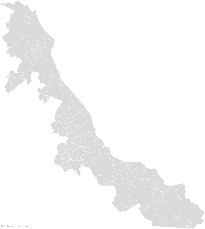 Veracruz MunicipalitiesMexico Municipalities
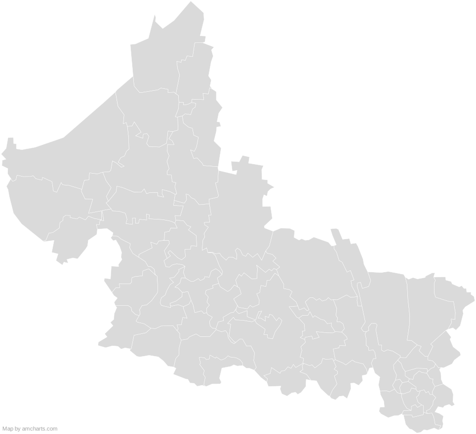 San Luis Potosi MunicipalitiesMexico Municipalities
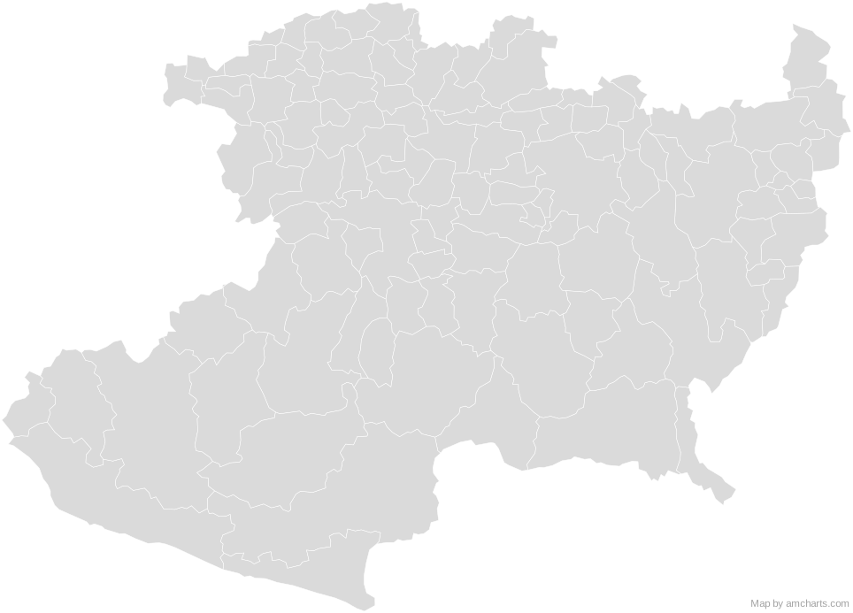 Michoacan MunicipalitiesMexico Municipalities
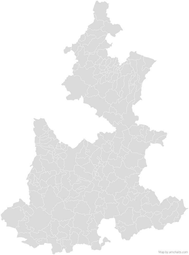 Puebla MunicipalitiesMexico Municipalities
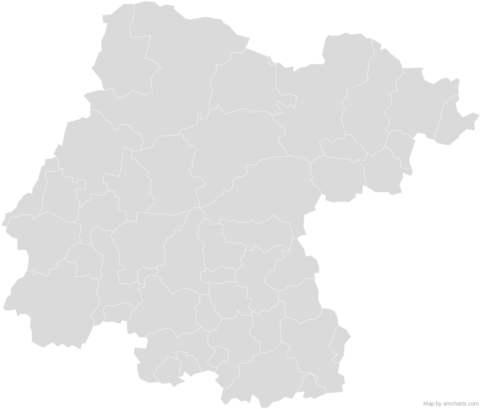 Guanajuato MunicipalitiesMexico Municipalities
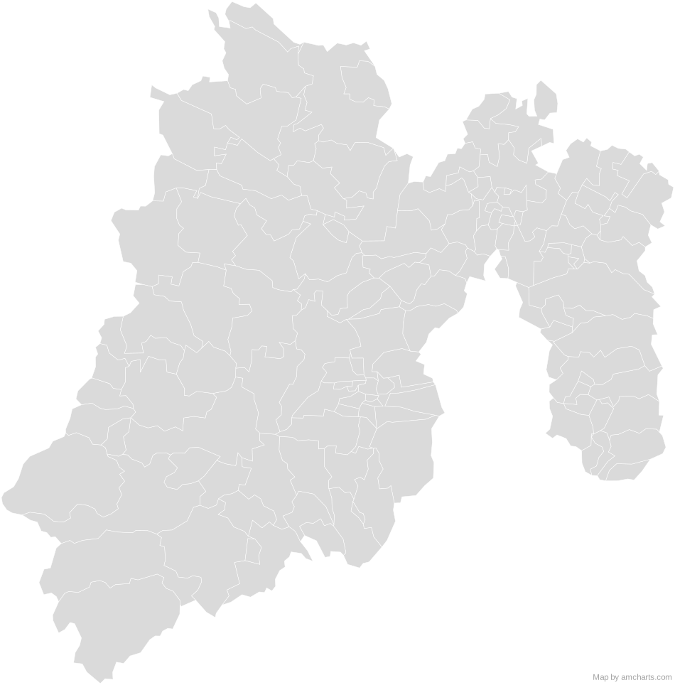 State of Mexico MunicipalitiesMexico Municipalities
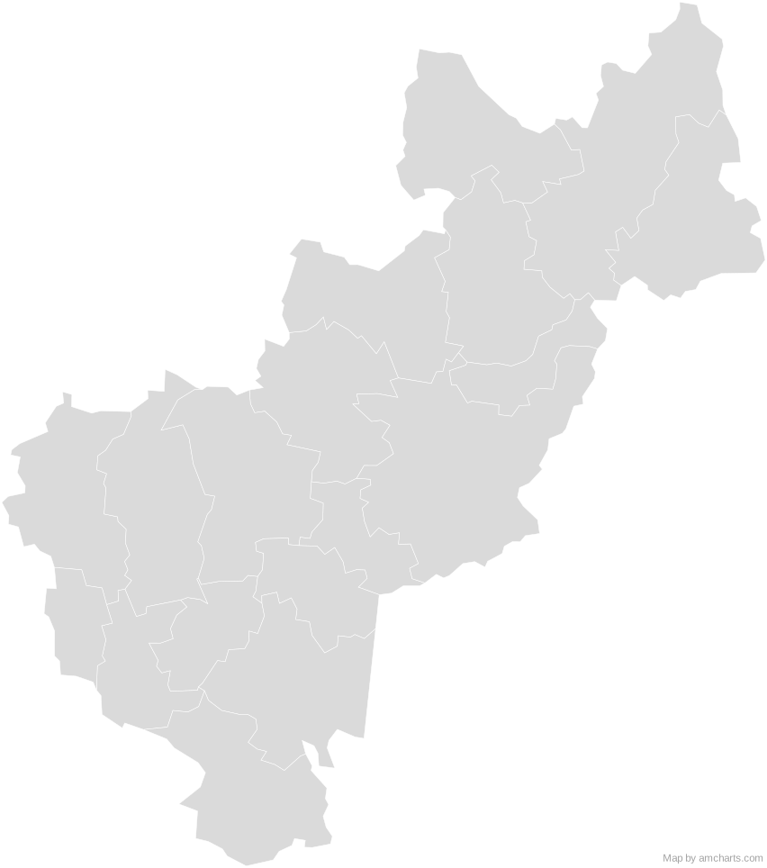 Queretaro MunicipalitiesMexico Municipalities
 Mexico Municipalities
Can I use this map commercially?
Yes, for free, as long as you keep the amCharts credit (CC BY 4.0). To use maps without the credit, get the SVG Maps pack: all 427 maps for $99, one payment.
Which projection is it in?
Mercator, fitted to the map's own bounds. For Equal Earth, Albers, orthographic and others, use the SVG Map Generator.
How are the regions identified?
Each region is its own <path> with an id (the ISO code where one exists) and a data-name, so you can style or script it directly.
Will it open in Figma, Illustrator or Inkscape?
Yes. It is plain SVG: no scripts, fonts or external references.