Michoacan Municipalities SVG Map
Free Michoacan Municipalities SVG map with 113 municipalities, in Mercator projection, high and low detail.
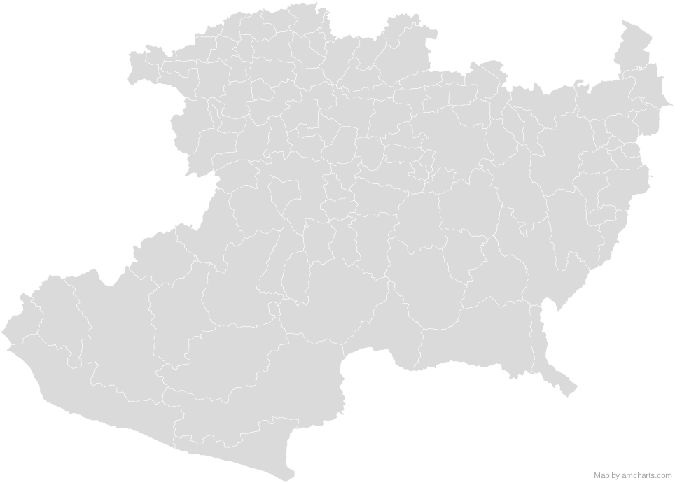
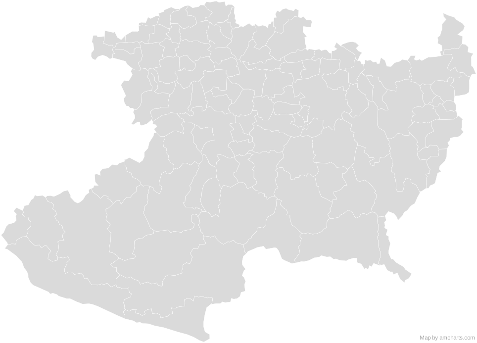
Free for any use, commercial projects included, as long as you keep the amCharts credit (CC BY 4.0).
All 427 maps, no credit needed: $99 Every SVG map in one ZIP, royalty-free, with updates.113 regions, named and coded.
- Acuitzio
16001 - Aguililla
16002 - Álvaro Obregón
16003 - Angamacutiro
16004 - Angangueo
16005 - Apatzingán
16006 - Aporo
16007 - Aquila
16008 - Ario
16009 - Arteaga
16010 - Briseñas
16011 - Buenavista
16012 - Carácuaro
16013 - Charapan
16021 - Charo
16022 - Chavinda
16023 - Cherán
16024 - Chilchota
16025 - Chinicuila
16026 - Chucándiro
16027 - Churintzio
16028 - Churumuco
16029 - Coahuayana
16014 - Coalcomán de Vázquez Pallares
16015 - Coeneo
16016 - Cojumatlán de Régules
16074 - Contepec
16017 - Copándaro
16018 - Cotija
16019 - Cuitzeo
16020 - Ecuandureo
16030 - Epitacio Huerta
16031 - Erongarícuaro
16032 - Gabriel Zamora
16033 - Hidalgo
16034 - Huandacareo
16036 - Huaniqueo
16037 - Huetamo
16038 - Huiramba
16039 - Indaparapeo
16040 - Irimbo
16041 - Ixtlán
16042 - Jacona
16043 - Jiménez
16044 - Jiquilpan
16045 - José Sixto Verduzco
16113 - Juárez
16046 - Jungapeo
16047 - La Huacana
16035 - La Piedad
16069 - Lagunillas
16048 - Lázaro Cárdenas
16052 - Los Reyes
16075 - Madero
16049 - Maravatío
16050 - Marcos Castellanos
16051 - Morelia
16053 - Morelos
16054 - Múgica
16055 - Nahuatzen
16056 - Nocupétaro
16057 - Nuevo Parangaricutiro
16058 - Nuevo Urecho
16059 - Numarán
16060 - Ocampo
16061 - Pajacuarán
16062 - Panindícuaro
16063 - Paracho
16065 - Parácuaro
16064 - Pátzcuaro
16066 - Penjamillo
16067 - Peribán
16068 - Purépero
16070 - Puruándiro
16071 - Queréndaro
16072 - Quiroga
16073 - Sahuayo
16076 - Salvador Escalante
16079 - San Lucas
16077 - Santa Ana Maya
16078 - Senguio
16080 - Susupuato
16081 - Tacámbaro
16082 - Tancítaro
16083 - Tangamandapio
16084 - Tangancícuaro
16085 - Tanhuato
16086 - Taretan
16087 - Tarímbaro
16088 - Tepalcatepec
16089 - Tingambato
16090 - Tingüindín
16091 - Tiquicheo de Nicolás Romero
16092 - Tlalpujahua
16093 - Tlazazalca
16094 - Tocumbo
16095 - Tumbiscatío
16096 - Turicato
16097 - Tuxpan
16098 - Tuzantla
16099 - Tzintzuntzan
16100 - Tzitzio
16101 - Uruapan
16102 - Venustiano Carranza
16103 - Villamar
16104 - Vista Hermosa
16105 - Yurécuaro
16106 - Zacapu
16107 - Zamora
16108 - Zináparo
16109 - Zinapécuaro
16110 - Ziracuaretiro
16111 - Zitácuaro
16112
No region matches that.
Need it interactive in your app?
The same map ships with the amCharts 5 library as am5geodata_region_mexico_micLow, ready for zoom, tooltips, heat maps and drill-downs. See JavaScript Maps.
import am5geodata from "@amcharts/amcharts5-geodata/region/mexico/micLow";

chart.series.push(
  am5map.MapPolygonSeries.new(root, {
    geoJSON: am5geodata
  })
);Around Michoacan Municipalities
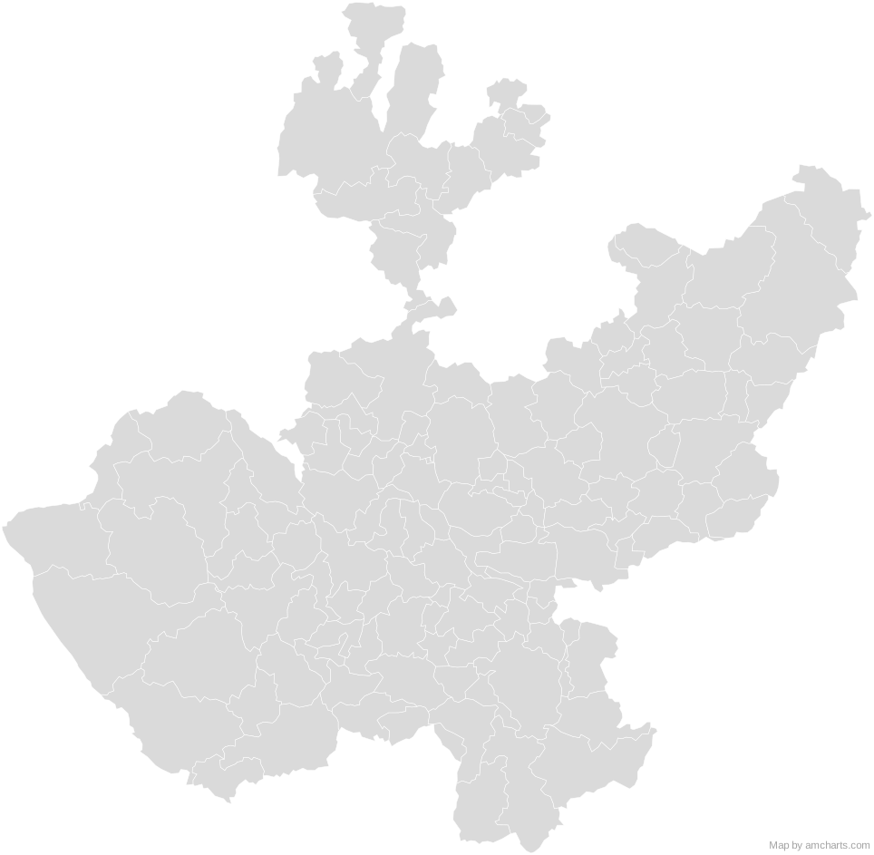 Jalisco MunicipalitiesMexico Municipalities
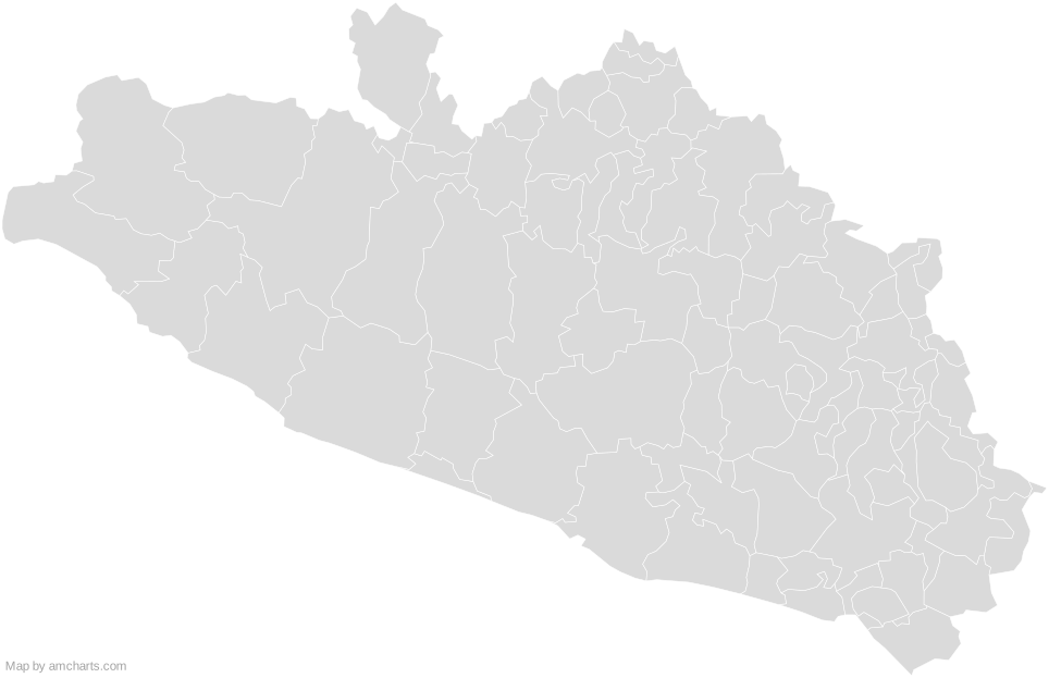 Guerrero MunicipalitiesMexico Municipalities
 Guanajuato MunicipalitiesMexico Municipalities
 State of Mexico MunicipalitiesMexico Municipalities
 Hidalgo MunicipalitiesMexico Municipalities
 Queretaro MunicipalitiesMexico Municipalities
 Colima MunicipalitiesMexico Municipalities
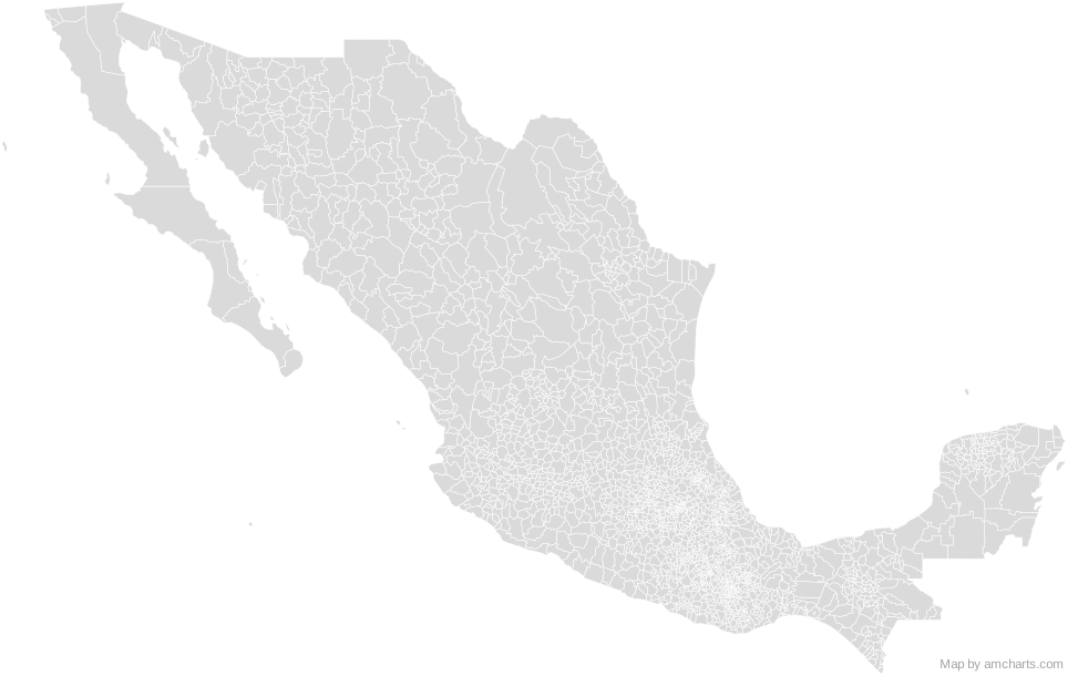 Mexico Municipalities
Can I use this map commercially?
Yes, for free, as long as you keep the amCharts credit (CC BY 4.0). To use maps without the credit, get the SVG Maps pack: all 427 maps for $99, one payment.
Which projection is it in?
Mercator, fitted to the map's own bounds. For Equal Earth, Albers, orthographic and others, use the SVG Map Generator.
How are the regions identified?
Each region is its own <path> with an id (the ISO code where one exists) and a data-name, so you can style or script it directly.
Will it open in Figma, Illustrator or Inkscape?
Yes. It is plain SVG: no scripts, fonts or external references.