Minnesota Counties SVG Map
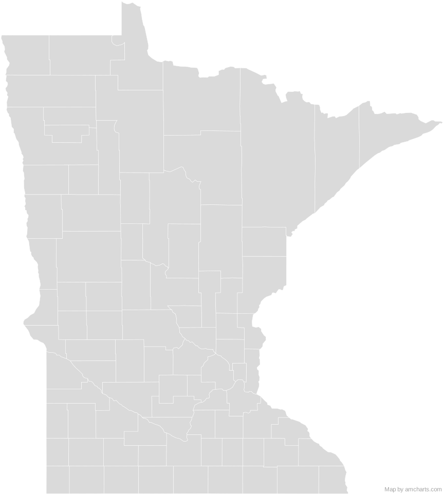
Free Minnesota Counties SVG map with 87 counties, in Mercator projection, high and low detail.
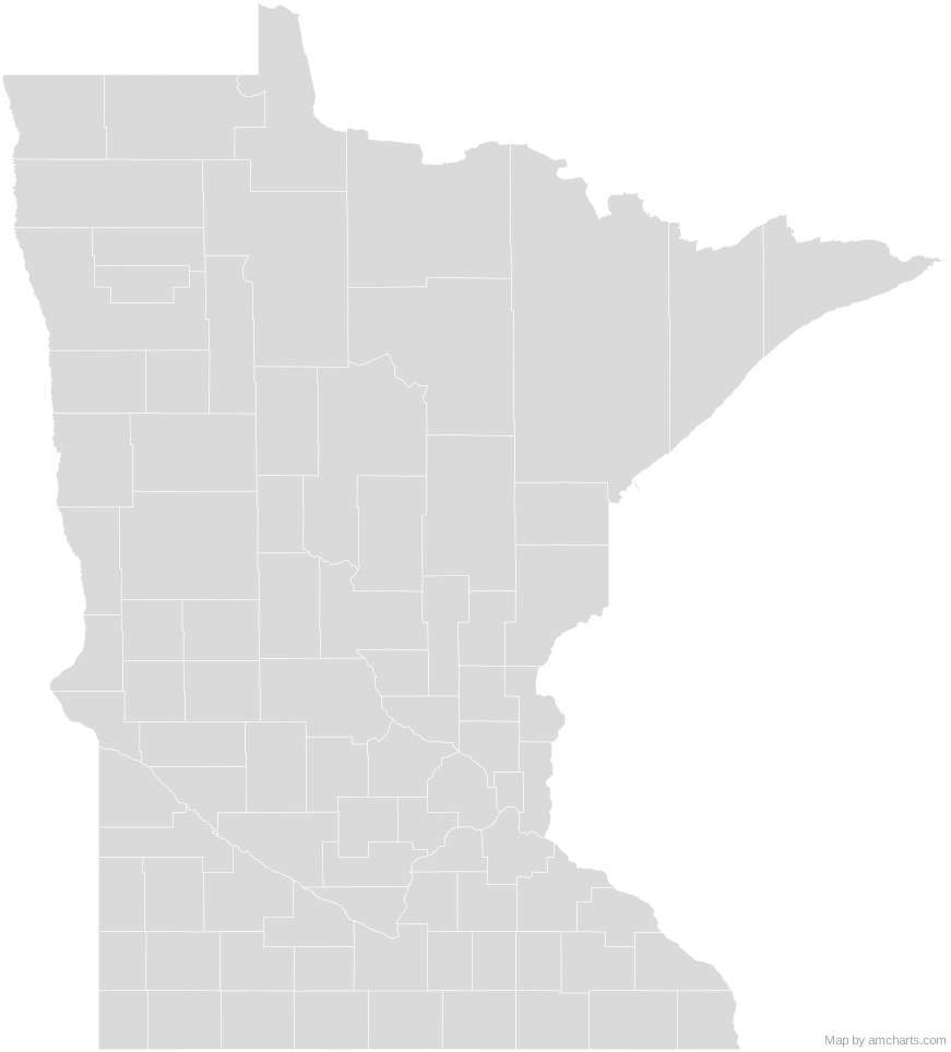
Free for any use, commercial projects included, as long as you keep the amCharts credit (CC BY 4.0).
All 427 maps, no credit needed: $99 Every SVG map in one ZIP, royalty-free, with updates.87 regions, named and coded.
- Aitkin
27001 - Anoka
27003 - Becker
27005 - Beltrami
27007 - Benton
27009 - Big Stone
27011 - Blue Earth
27013 - Brown
27015 - Carlton
27017 - Carver
27019 - Cass
27021 - Chippewa
27023 - Chisago
27025 - Clay
27027 - Clearwater
27029 - Cook
27031 - Cottonwood
27033 - Crow Wing
27035 - Dakota
27037 - Dodge
27039 - Douglas
27041 - Faribault
27043 - Fillmore
27045 - Freeborn
27047 - Goodhue
27049 - Grant
27051 - Hennepin
27053 - Houston
27055 - Hubbard
27057 - Isanti
27059 - Itasca
27061 - Jackson
27063 - Kanabec
27065 - Kandiyohi
27067 - Kittson
27069 - Koochiching
27071 - Lac qui Parle
27073 - Lake
27075 - Lake of the Woods
27077 - Le Sueur
27079 - Lincoln
27081 - Lyon
27083 - Mahnomen
27087 - Marshall
27089 - Martin
27091 - McLeod
27085 - Meeker
27093 - Mille Lacs
27095 - Morrison
27097 - Mower
27099 - Murray
27101 - Nicollet
27103 - Nobles
27105 - Norman
27107 - Olmsted
27109 - Otter Tail
27111 - Pennington
27113 - Pine
27115 - Pipestone
27117 - Polk
27119 - Pope
27121 - Ramsey
27123 - Red Lake
27125 - Redwood
27127 - Renville
27129 - Rice
27131 - Rock
27133 - Roseau
27135 - Saint Louis
27137 - Scott
27139 - Sherburne
27141 - Sibley
27143 - Stearns
27145 - Steele
27147 - Stevens
27149 - Swift
27151 - Todd
27153 - Traverse
27155 - Wabasha
27157 - Wadena
27159 - Waseca
27161 - Washington
27163 - Watonwan
27165 - Wilkin
27167 - Winona
27169 - Wright
27171 - Yellow Medicine
27173
No region matches that.
Need it interactive in your app?
The same map ships with the amCharts 5 library as am5geodata_region_usa_mnLow, ready for zoom, tooltips, heat maps and drill-downs. See JavaScript Maps.
import am5geodata from "@amcharts/amcharts5-geodata/region/usa/mnLow";

chart.series.push(
  am5map.MapPolygonSeries.new(root, {
    geoJSON: am5geodata
  })
);Around Minnesota Counties
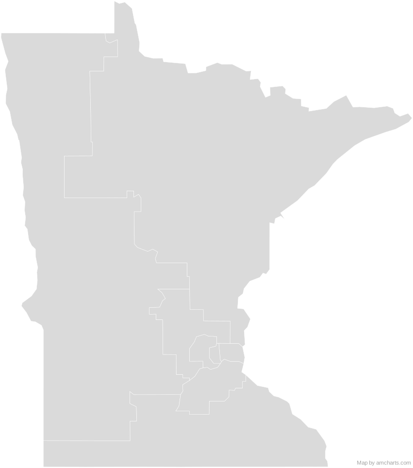
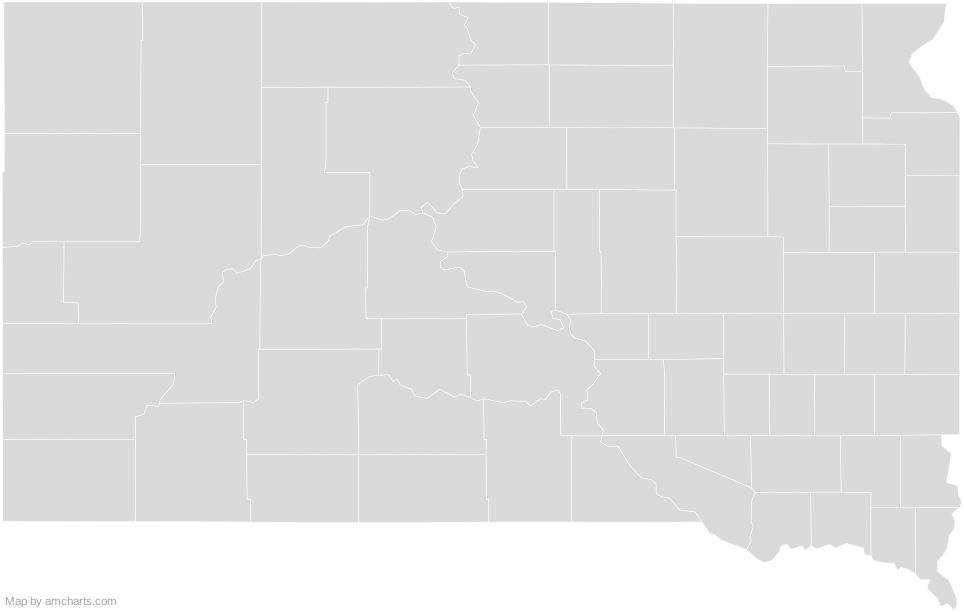
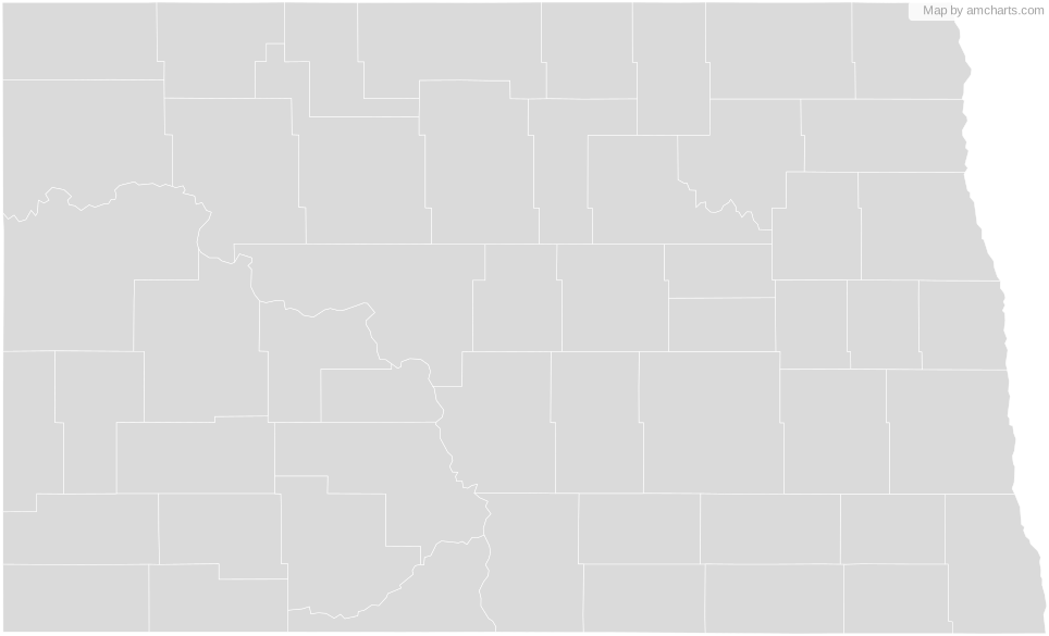
Can I use this map commercially?
Yes, for free, as long as you keep the amCharts credit (CC BY 4.0). To use maps without the credit, get the SVG Maps pack: all 427 maps for $99, one payment.
Which projection is it in?
Mercator, fitted to the map's own bounds. For Equal Earth, Albers, orthographic and others, use the SVG Map Generator.
How are the regions identified?
Each region is its own <path> with an id (the ISO code where one exists) and a data-name, so you can style or script it directly.
Will it open in Figma, Illustrator or Inkscape?
Yes. It is plain SVG: no scripts, fonts or external references.