Missouri Counties SVG Map
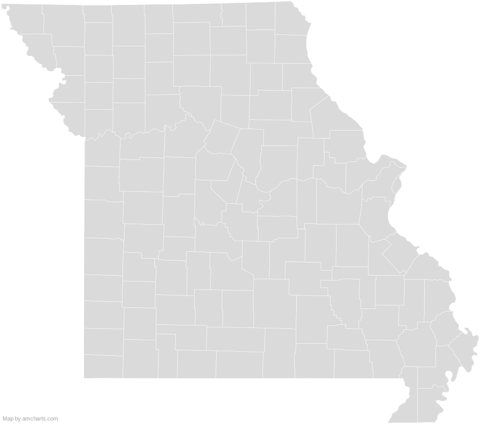
Free Missouri Counties SVG map with 115 counties, in Mercator projection, high and low detail.
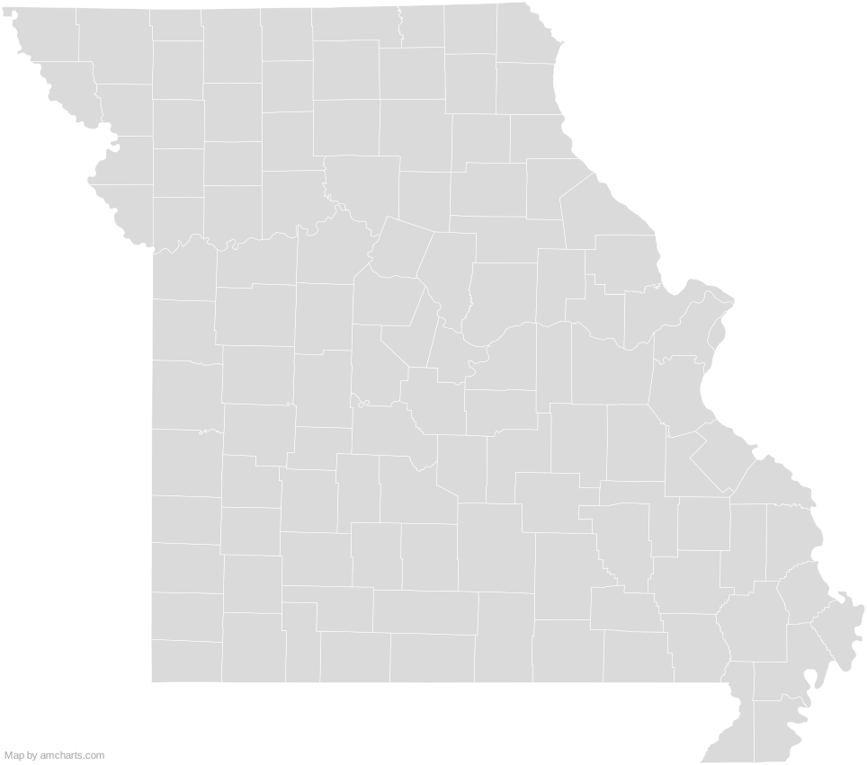
Free for any use, commercial projects included, as long as you keep the amCharts credit (CC BY 4.0).
All 427 maps, no credit needed: $99 Every SVG map in one ZIP, royalty-free, with updates.115 regions, named and coded.
- Adair
29001 - Andrew
29003 - Atchison
29005 - Audrain
29007 - Barry
29009 - Barton
29011 - Bates
29013 - Benton
29015 - Bollinger
29017 - Boone
29019 - Buchanan
29021 - Butler
29023 - Caldwell
29025 - Callaway
29027 - Camden
29029 - Cape Girardeau
29031 - Carroll
29033 - Carter
29035 - Cass
29037 - Cedar
29039 - Chariton
29041 - Christian
29043 - Clark
29045 - Clay
29047 - Clinton
29049 - Cole
29051 - Cooper
29053 - Crawford
29055 - Dade
29057 - Dallas
29059 - Daviess
29061 - DeKalb
29063 - Dent
29065 - Douglas
29067 - Dunklin
29069 - Franklin
29071 - Gasconade
29073 - Gentry
29075 - Greene
29077 - Grundy
29079 - Harrison
29081 - Henry
29083 - Hickory
29085 - Holt
29087 - Howard
29089 - Howell
29091 - Iron
29093 - Jackson
29095 - Jasper
29097 - Jefferson
29099 - Johnson
29101 - Knox
29103 - Laclede
29105 - Lafayette
29107 - Lawrence
29109 - Lewis
29111 - Lincoln
29113 - Linn
29115 - Livingston
29117 - Macon
29121 - Madison
29123 - Maries
29125 - Marion
29127 - McDonald
29119 - Mercer
29129 - Miller
29131 - Mississippi
29133 - Moniteau
29135 - Monroe
29137 - Montgomery
29139 - Morgan
29141 - New Madrid
29143 - Newton
29145 - Nodaway
29147 - Oregon
29149 - Osage
29151 - Ozark
29153 - Pemiscot
29155 - Perry
29157 - Pettis
29159 - Phelps
29161 - Pike
29163 - Platte
29165 - Polk
29167 - Pulaski
29169 - Putnam
29171 - Ralls
29173 - Randolph
29175 - Ray
29177 - Reynolds
29179 - Ripley
29181 - Saint Charles
29183 - Saint Clair
29185 - Saint Francois
29187 - Saint Louis
29189 - Saint Louis
29510 - Sainte Genevieve
29186 - Saline
29195 - Schuyler
29197 - Scotland
29199 - Scott
29201 - Shannon
29203 - Shelby
29205 - Stoddard
29207 - Stone
29209 - Sullivan
29211 - Taney
29213 - Texas
29215 - Vernon
29217 - Warren
29219 - Washington
29221 - Wayne
29223 - Webster
29225 - Worth
29227 - Wright
29229
No region matches that.
Need it interactive in your app?
The same map ships with the amCharts 5 library as am5geodata_region_usa_moLow, ready for zoom, tooltips, heat maps and drill-downs. See JavaScript Maps.
import am5geodata from "@amcharts/amcharts5-geodata/region/usa/moLow";

chart.series.push(
  am5map.MapPolygonSeries.new(root, {
    geoJSON: am5geodata
  })
);
Can I use this map commercially?
Yes, for free, as long as you keep the amCharts credit (CC BY 4.0). To use maps without the credit, get the SVG Maps pack: all 427 maps for $99, one payment.
Which projection is it in?
Mercator, fitted to the map's own bounds. For Equal Earth, Albers, orthographic and others, use the SVG Map Generator.
How are the regions identified?
Each region is its own <path> with an id (the ISO code where one exists) and a data-name, so you can style or script it directly.
Will it open in Figma, Illustrator or Inkscape?
Yes. It is plain SVG: no scripts, fonts or external references.