Taiwan SVG Map
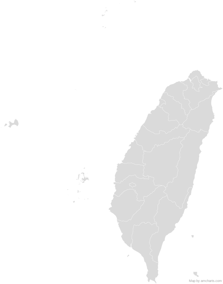
Free Taiwan SVG map with 22 administrative areas, in Mercator projection, high and low detail.
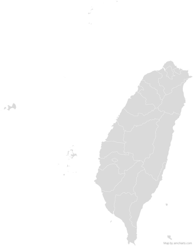
Free for any use, commercial projects included, as long as you keep the amCharts credit (CC BY 4.0).
All 427 maps, no credit needed: $99 Every SVG map in one ZIP, royalty-free, with updates.22 regions, named and coded.
- Changhua
TW-CHA - Chiayi
TW-CYI - Chiayi
TW-CYQ - Hsinchu
TW-HSZ - Hsinchu
TW-HSQ - Hualien
TW-HUA - Kaohsiung
TW-KHH - Keelung
TW-KEE - Kinmen
TW-KIN - Lienchiang
TW-LIE - Miaoli
TW-MIA - Nantou
TW-NAN - New Taipei
TW-NWT - Penghu
TW-PEN - Pingtung
TW-PIF - Taichung
TW-TXG - Tainan
TW-TNN - Taipei
TW-TPE - Taitung
TW-TTT - Taoyuan
TW-TAO - Yilan
TW-ILA - Yunlin
TW-YUN
No region matches that.
Need it interactive in your app?
The same map ships with the amCharts 5 library as am5geodata_taiwanLow, ready for zoom, tooltips, heat maps and drill-downs. See JavaScript Maps.
import am5geodata from "@amcharts/amcharts5-geodata/taiwanLow";

chart.series.push(
  am5map.MapPolygonSeries.new(root, {
    geoJSON: am5geodata
  })
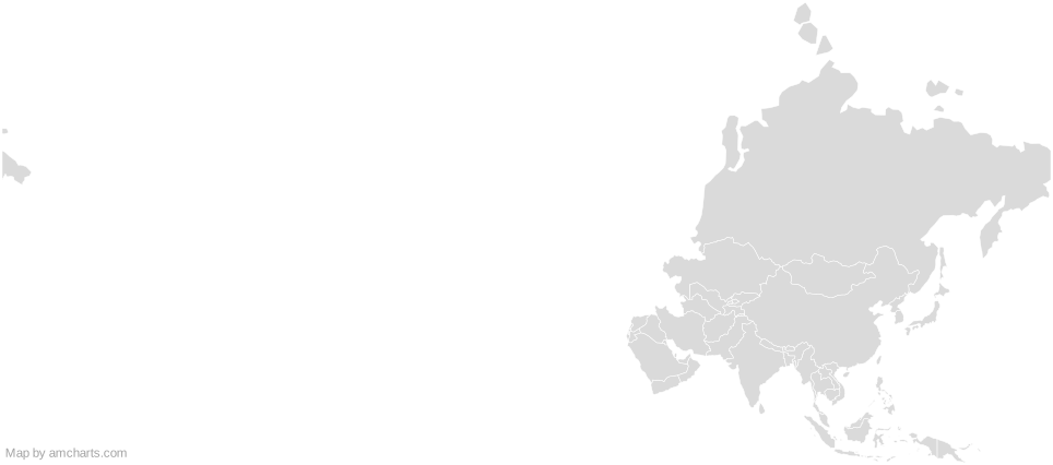
);Around Taiwan
Can I use this map commercially?
Yes, for free, as long as you keep the amCharts credit (CC BY 4.0). To use maps without the credit, get the SVG Maps pack: all 427 maps for $99, one payment.
Which projection is it in?
Mercator, fitted to the map's own bounds. For Equal Earth, Albers, orthographic and others, use the SVG Map Generator.
How are the regions identified?
Each region is its own <path> with an id (the ISO code where one exists) and a data-name, so you can style or script it directly.
Will it open in Figma, Illustrator or Inkscape?
Yes. It is plain SVG: no scripts, fonts or external references.