Vietnam SVG Map
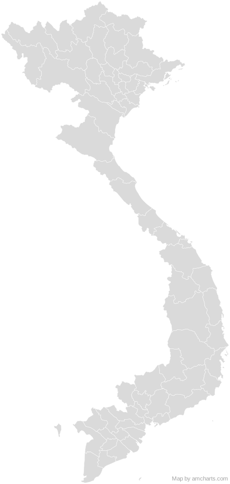
Free Vietnam SVG map with 64 administrative areas, in Mercator projection, high and low detail.
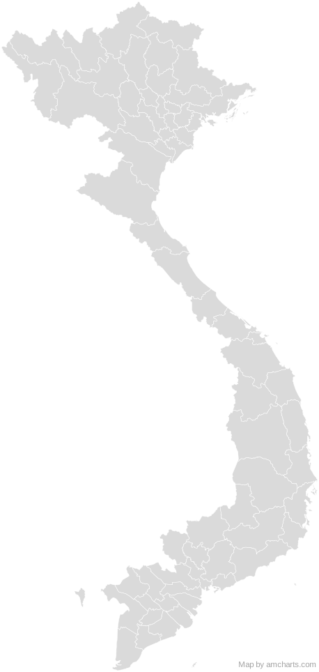
Free for any use, commercial projects included, as long as you keep the amCharts credit (CC BY 4.0).
All 427 maps, no credit needed: $99 Every SVG map in one ZIP, royalty-free, with updates.64 regions, named and coded.
- An Giang
VN-44 - Bà Rịa–Vũng Tàu
VN-43 - Bắc Giang
VN-54 - Bắc Kạn
VN-53 - Bạc Liêu
VN-55 - Bắc Ninh
VN-56 - Bến Tre
VN-50 - Bình Định
VN-31 - Bình Dương
VN-57 - Bình Phước
VN-58 - Bình Thuận
VN-40 - Cà Mau
VN-59 - Cần Thơ
VN-CT - Cao Bằng
VN-04 - Đà Nẵng
VN-DN - Đắk Lắk
VN-33 - Đắk Nông
VN-72 - Điện Biên
VN-71 - Đồng Nai
VN-39 - Đồng Tháp
VN-45 - Gia Lai
VN-30 - Hà Giang
VN-03 - Hà Nam
VN-63 - Hà Nội
VN-HN - Hà Tây
VN-15 - Hà Tĩnh
VN-23 - Hải Dương
VN-61 - Hải Phòng
VN-HP - Hậu Giang
VN-73 - Hồ Chí Minh
VN-SG - Hòa Bình
VN-14 - Hưng Yên
VN-66 - Khánh Hòa
VN-34 - Kiên Giang
VN-47 - Kon Tum
VN-28 - Lai Châu
VN-01 - Lâm Đồng
VN-35 - Lạng Sơn
VN-09 - Lào Cai
VN-02 - Long An
VN-41 - Nam Định
VN-67 - Nghệ An
VN-22 - Ninh Bình
VN-18 - Ninh Thuận
VN-36 - Phú Thọ
VN-68 - Phú Yên
VN-32 - Quảng Bình
VN-24 - Quảng Nam
VN-27 - Quảng Ngãi
VN-29 - Quảng Ninh
VN-13 - Quảng Trị
VN-25 - Sóc Trăng
VN-52 - Sơn La
VN-05 - Tây Ninh
VN-37 - Thái Bình
VN-20 - Thái Nguyên
VN-69 - Thanh Hóa
VN-21 - Thừa Thiên–Huế
VN-26 - Tiền Giang
VN-46 - Trà Vinh
VN-51 - Tuyên Quang
VN-07 - Vĩnh Long
VN-49 - Vĩnh Phúc
VN-70 - Yên Bái
VN-06
No region matches that.
Need it interactive in your app?
The same map ships with the amCharts 5 library as am5geodata_vietnamLow, ready for zoom, tooltips, heat maps and drill-downs. See JavaScript Maps.
import am5geodata from "@amcharts/amcharts5-geodata/vietnamLow";

chart.series.push(
  am5map.MapPolygonSeries.new(root, {
    geoJSON: am5geodata
  })
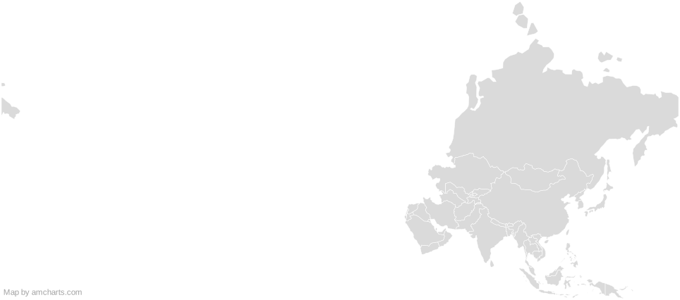
);Around Vietnam
Can I use this map commercially?
Yes, for free, as long as you keep the amCharts credit (CC BY 4.0). To use maps without the credit, get the SVG Maps pack: all 427 maps for $99, one payment.
Which projection is it in?
Mercator, fitted to the map's own bounds. For Equal Earth, Albers, orthographic and others, use the SVG Map Generator.
How are the regions identified?
Each region is its own <path> with an id (the ISO code where one exists) and a data-name, so you can style or script it directly.
Will it open in Figma, Illustrator or Inkscape?
Yes. It is plain SVG: no scripts, fonts or external references.