Thailand SVG Map
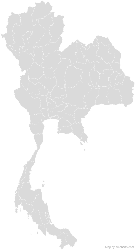
Free Thailand SVG map with 79 administrative areas, in Mercator projection, high and low detail.
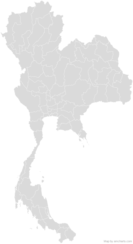
Free for any use, commercial projects included, as long as you keep the amCharts credit (CC BY 4.0).
All 427 maps, no credit needed: $99 Every SVG map in one ZIP, royalty-free, with updates.79 regions, named and coded.
- Amnat Charoen
TH-37 - Ang Thong
TH-15 - Bangkok Metropolis
TH-10 - Bueng Kan
TH-38 - Buri Ram
TH-31 - Chachoengsao
TH-24 - Chai Nat
TH-18 - Chaiyaphum
TH-36 - Chanthaburi
TH-22 - Chiang Mai
TH-50 - Chiang Rai
TH-57 - Chon Buri
TH-20 - Chumphon
TH-86 - Kalasin
TH-46 - Kamphaeng Phet
TH-62 - Kanchanaburi
TH-71 - Khon Kaen
TH-40 - Krabi
TH-81 - Lampang
TH-52 - Lamphun
TH-51 - Loei
TH-42 - Lop Buri
TH-16 - Mae Hong Son
TH-58 - Maha Sarakham
TH-44 - Mukdahan
TH-49 - Nakhon Nayok
TH-26 - Nakhon Pathom
TH-73 - Nakhon Phanom
TH-48 - Nakhon Ratchasima
TH-30 - Nakhon Sawan
TH-60 - Nakhon Si Thammarat
TH-80 - Nan
TH-55 - Narathiwat
TH-96 - Nong Bua Lam Phu
TH-39 - Nong Khai
TH-43 - Nonthaburi
TH-12 - Pathum Thani
TH-13 - Pattani
TH-94 - Phangnga
TH-82 - Phatthalung
TH-93 - Phatthaya
TH-S - Phayao
TH-56 - Phetchabun
TH-67 - Phetchaburi
TH-76 - Phichit
TH-66 - Phitsanulok
TH-65 - Phra Nakhon Si Ayutthaya
TH-14 - Phrae
TH-54 - Phuket
TH-83 - Prachin Buri
TH-25 - Prachuap Khiri Khan
TH-77 - Ranong
TH-85 - Ratchaburi
TH-70 - Rayong
TH-21 - Roi Et
TH-45 - Sa Kaeo
TH-27 - Sakon Nakhon
TH-47 - Samut Prakan
TH-11 - Samut Sakhon
TH-74 - Samut Songkhram
TH-75 - Saraburi
TH-19 - Satun
TH-91 - Si Sa Ket
TH-33 - Sing Buri
TH-17 - Songkhla
TH-90 - Songkhla Lake
TH-LK - Sukhothai
TH-64 - Suphan Buri
TH-72 - Surat Thani
TH-84 - Surin
TH-32 - Tak
TH-63 - Trang
TH-92 - Trat
TH-23 - Ubon Ratchathani
TH-34 - Udon Thani
TH-41 - Uthai Thani
TH-61 - Uttaradit
TH-53 - Yala
TH-95 - Yasothon
TH-35
No region matches that.
Need it interactive in your app?
The same map ships with the amCharts 5 library as am5geodata_thailandLow, ready for zoom, tooltips, heat maps and drill-downs. See JavaScript Maps.
import am5geodata from "@amcharts/amcharts5-geodata/thailandLow";

chart.series.push(
  am5map.MapPolygonSeries.new(root, {
    geoJSON: am5geodata
  })
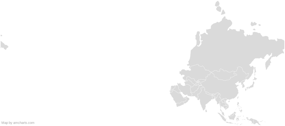
);Around Thailand
Can I use this map commercially?
Yes, for free, as long as you keep the amCharts credit (CC BY 4.0). To use maps without the credit, get the SVG Maps pack: all 427 maps for $99, one payment.
Which projection is it in?
Mercator, fitted to the map's own bounds. For Equal Earth, Albers, orthographic and others, use the SVG Map Generator.
How are the regions identified?
Each region is its own <path> with an id (the ISO code where one exists) and a data-name, so you can style or script it directly.
Will it open in Figma, Illustrator or Inkscape?
Yes. It is plain SVG: no scripts, fonts or external references.