Uganda SVG Map
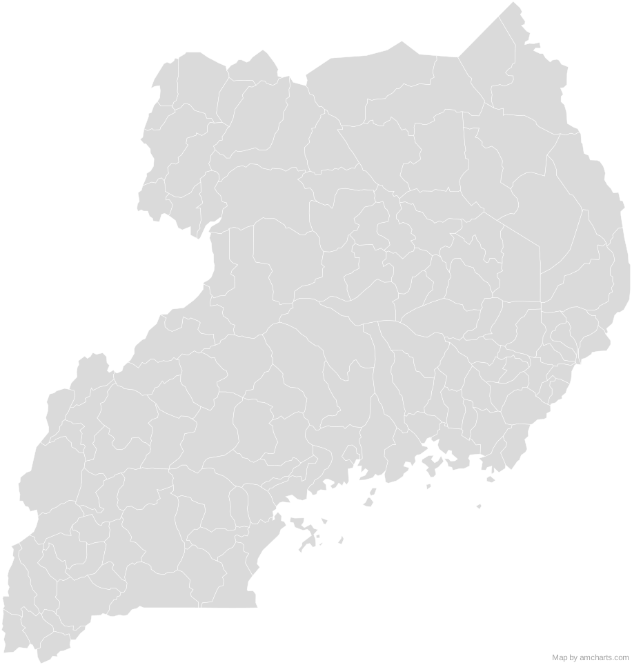
Free Uganda SVG map with 135 areas, in Mercator projection, high and low detail.
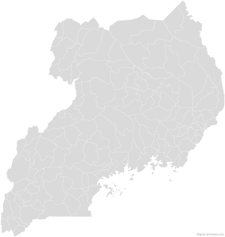
Free for any use, commercial projects included, as long as you keep the amCharts credit (CC BY 4.0).
All 427 maps, no credit needed: $99 Every SVG map in one ZIP, royalty-free, with updates.135 regions, named and coded.
- Abim
UG-314 - Adjumani
UG-301 - Agago
UG-322 - Alebtong
UG-323 - Amolatar
UG-315 - Amudat
UG-324 - Amuria
UG-216 - Amuru
UG-316 - Apac
UG-302 - Arua
UG-303 - Budaka
UG-217 - Bududa
UG-218 - Bugiri
UG-201 - Bugweri
UG-235 - Buhweju
UG-420 - Buikwe
UG-117 - Bukedea
UG-219 - Bukomansimbi
UG-118 - Bukwo
UG-220 - Bulambuli
UG-225 - Buliisa
UG-416 - Bundibugyo
UG-401 - Bunyangabu
UG-430 - Bushenyi
UG-402 - Busia
UG-202 - Butaleja
UG-221 - Butambala
UG-119 - Butebo
UG-233 - Buvuma
UG-120 - Buyende
UG-226 - Dokolo
UG-317 - Gomba
UG-121 - Gulu
UG-304 - Hoima
UG-403 - Ibanda
UG-417 - Iganga
UG-203 - Isingiro
UG-418 - Jinja
UG-204 - Kaabong
UG-318 - Kabale
UG-404 - Kabarole
UG-405 - Kaberamaido
UG-213 - Kagadi
UG-427 - Kakumiro
UG-428 - Kalaki
UG-237 - Kalangala
UG-101 - Kaliro
UG-222 - Kalungu
UG-122 - Kampala
UG-102 - Kamuli
UG-205 - Kamwenge
UG-413 - Kanungu
UG-414 - Kapchorwa
UG-206 - Kapelebyong
UG-236 - Karenga
UG-335 - Kasese
UG-406 - Kassanda
UG-126 - Katakwi
UG-207 - Kayunga
UG-112 - Kazo
UG-433 - Kibaale
UG-407 - Kiboga
UG-103 - Kibuku
UG-227 - Kikuube
UG-432 - Kiruhura
UG-419 - Kiryandongo
UG-421 - Kisoro
UG-408 - Kitagwenda
UG-434 - Kitgum
UG-305 - Koboko
UG-319 - Kole
UG-325 - Kotido
UG-306 - Kumi
UG-208 - Kwania
UG-333 - Kween
UG-228 - Kyankwanzi
UG-123 - Kyegegwa
UG-422 - Kyenjojo
UG-415 - Kyotera
UG-125 - Lamwo
UG-326 - Lira
UG-307 - Luuka
UG-229 - Luwero
UG-104 - Lwengo
UG-124 - Lyantonde
UG-114 - Madi-Okollo
UG-336 - Manafwa
UG-223 - Maracha
UG-320 - Masaka
UG-105 - Masindi
UG-409 - Mayuge
UG-214 - Mbale
UG-209 - Mbarara
UG-410 - Mitooma
UG-423 - Mityana
UG-115 - Moroto
UG-308 - Moyo
UG-309 - Mpigi
UG-106 - Mubende
UG-107 - Mukono
UG-108 - Nabilatuk
UG-334 - Nakapiripirit
UG-311 - Nakaseke
UG-116 - Nakasongola
UG-109 - Namayingo
UG-230 - Namisindwa
UG-234 - Namutumba
UG-224 - Napak
UG-327 - Nebbi
UG-310 - Ngora
UG-231 - Ntoroko
UG-424 - Ntungamo
UG-411 - Nwoya
UG-328 - Obongi
UG-337 - Omoro
UG-331 - Otuke
UG-329 - Oyam
UG-321 - Pader
UG-312 - Pakwach
UG-332 - Pallisa
UG-210 - Rakai
UG-110 - Rubanda
UG-429 - Rubirizi
UG-425 - Rukiga
UG-431 - Rukungiri
UG-412 - Rwampara
UG-435 - Sembabule
UG-111 - Serere
UG-232 - Sheema
UG-426 - Sironko
UG-215 - Soroti
UG-211 - Tororo
UG-212 - Wakiso
UG-113 - Yumbe
UG-313 - Zombo
UG-330
No region matches that.
Need it interactive in your app?
The same map ships with the amCharts 5 library as am5geodata_ugandaLow, ready for zoom, tooltips, heat maps and drill-downs. See JavaScript Maps.
import am5geodata from "@amcharts/amcharts5-geodata/ugandaLow";

chart.series.push(
  am5map.MapPolygonSeries.new(root, {
    geoJSON: am5geodata
  })
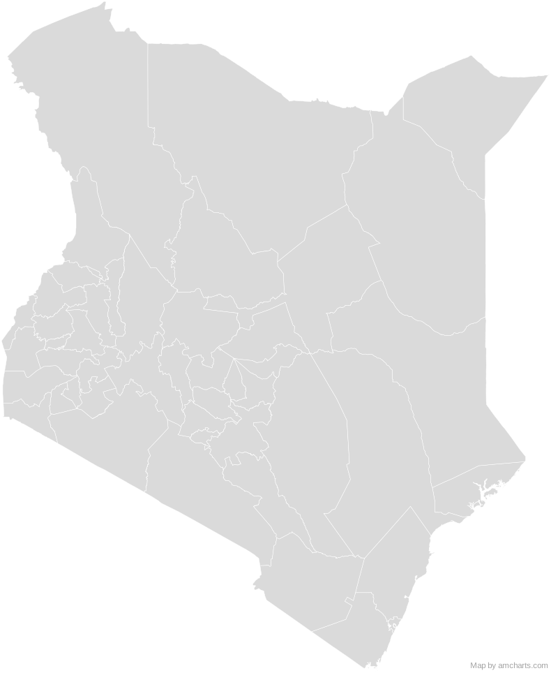
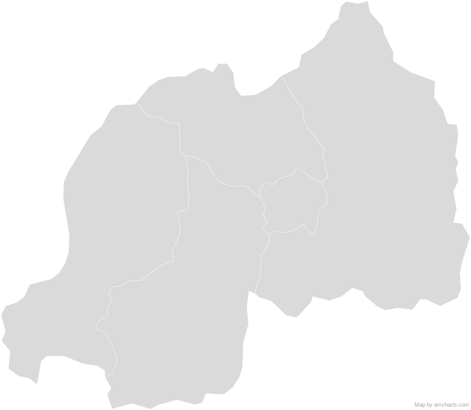
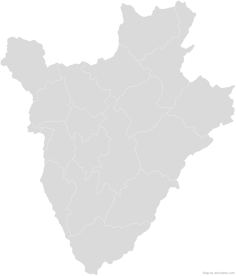
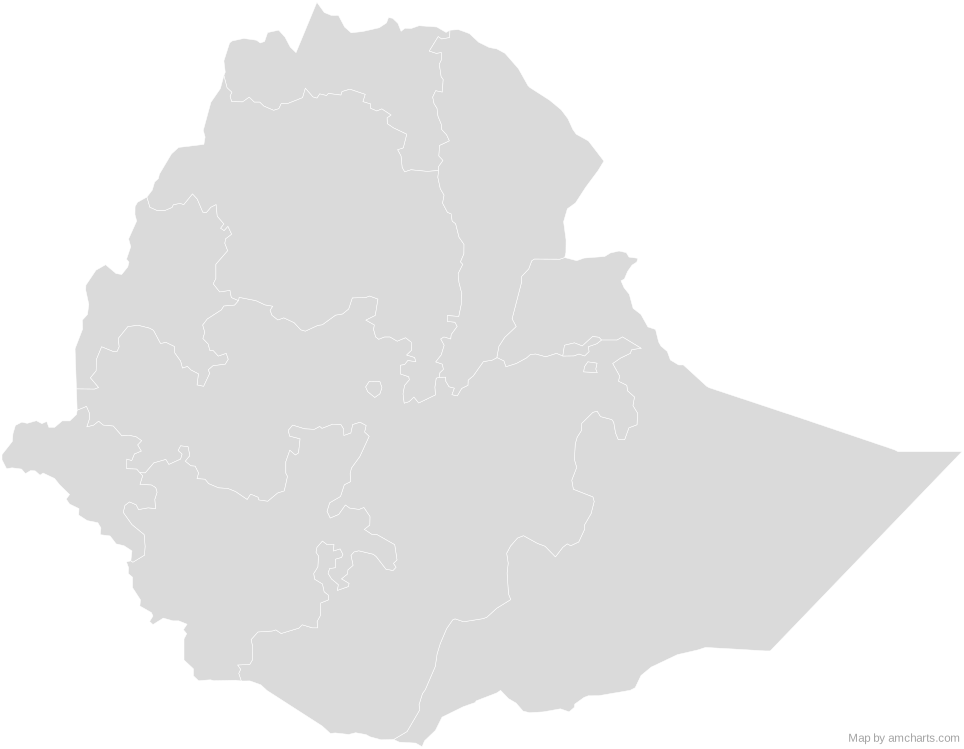
);Around Uganda
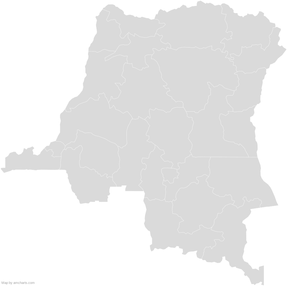
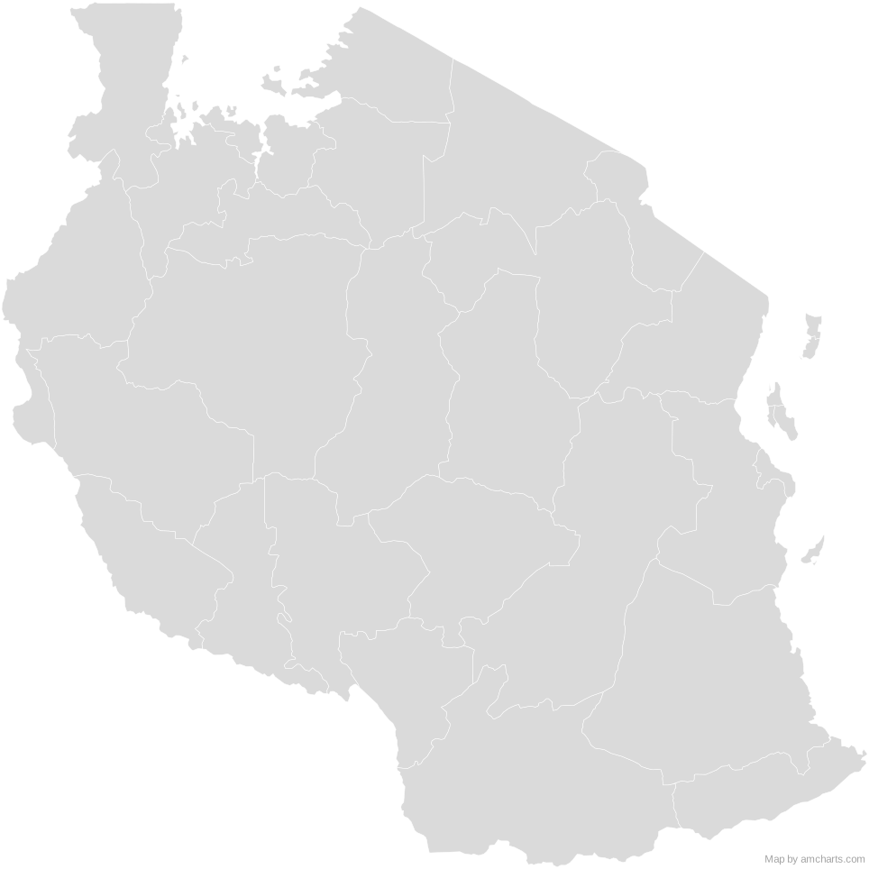
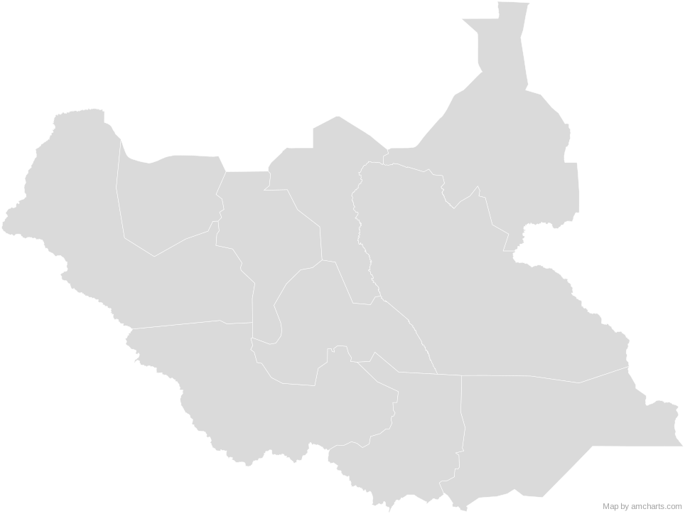
Can I use this map commercially?
Yes, for free, as long as you keep the amCharts credit (CC BY 4.0). To use maps without the credit, get the SVG Maps pack: all 427 maps for $99, one payment.
Which projection is it in?
Mercator, fitted to the map's own bounds. For Equal Earth, Albers, orthographic and others, use the SVG Map Generator.
How are the regions identified?
Each region is its own <path> with an id (the ISO code where one exists) and a data-name, so you can style or script it directly.
Will it open in Figma, Illustrator or Inkscape?
Yes. It is plain SVG: no scripts, fonts or external references.