Guerrero Municipalities SVG Map
Free Guerrero Municipalities SVG map with 81 municipalities, in Mercator projection, high and low detail.
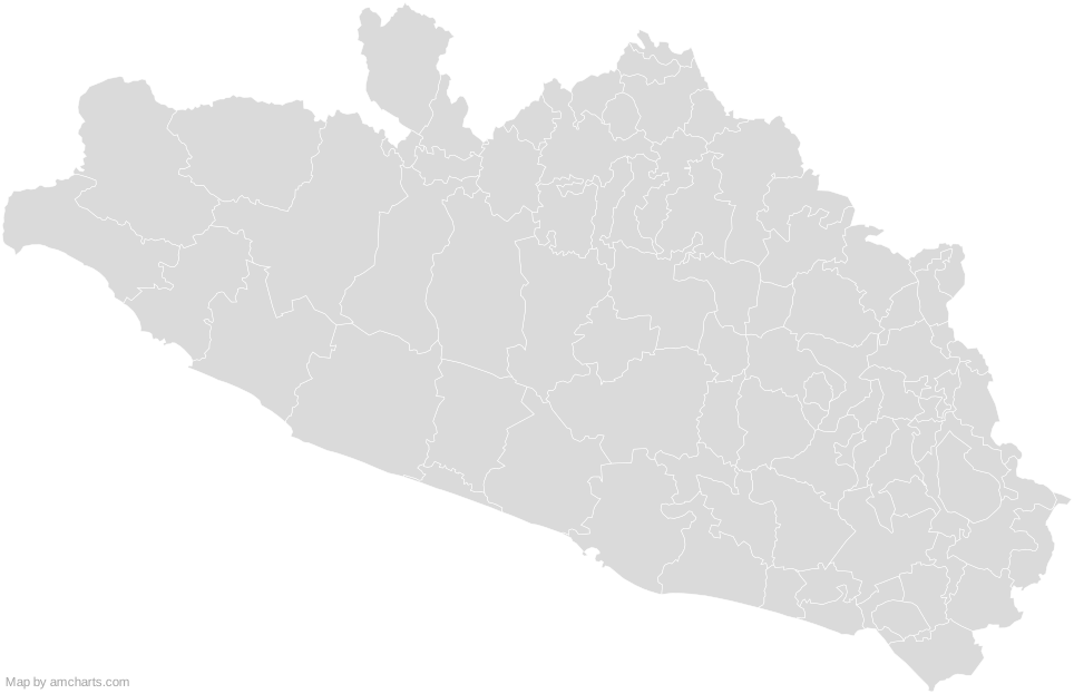
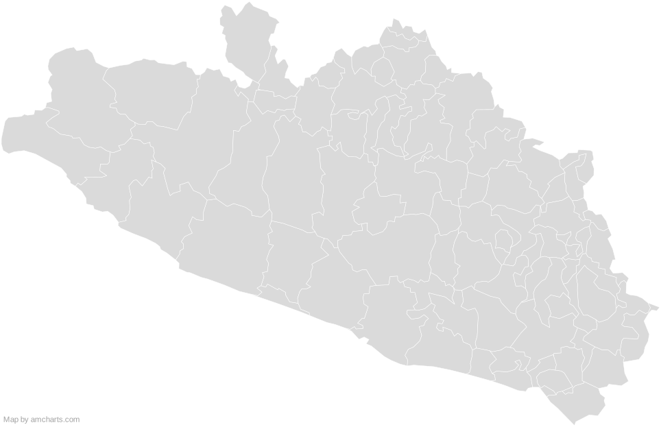
Free for any use, commercial projects included, as long as you keep the amCharts credit (CC BY 4.0).
All 427 maps, no credit needed: $99 Every SVG map in one ZIP, royalty-free, with updates.81 regions, named and coded.
- Acapulco de Juárez
12001 - Acatepec
12076 - Ahuacuotzingo
12002 - Ajuchitlán del Progreso
12003 - Alcozauca de Guerrero
12004 - Alpoyeca
12005 - Apaxtla
12006 - Arcelia
12007 - Atenango del Río
12008 - Atlamajalcingo del Monte
12009 - Atlixtac
12010 - Atoyac de Álvarez
12011 - Ayutla de los Libres
12012 - Azoyú
12013 - Benito Juárez
12014 - Buenavista de Cuéllar
12015 - Chilapa de Álvarez
12028 - Chilpancingo de los Bravo
12029 - Coahuayutla de José María Izazaga
12016 - Cochoapa el Grande
12078 - Cocula
12017 - Copala
12018 - Copalillo
12019 - Copanatoyac
12020 - Coyuca de Benítez
12021 - Coyuca de Catalán
12022 - Cuajinicuilapa
12023 - Cualác
12024 - Cuautepec
12025 - Cuetzala del Progreso
12026 - Cutzamala de Pinzón
12027 - Eduardo Neri
12075 - Florencio Villarreal
12030 - General Canuto A. Neri
12031 - General Heliodoro Castillo
12032 - Huamuxtitlán
12033 - Huitzuco de los Figueroa
12034 - Iguala de la Independencia
12035 - Igualapa
12036 - Iliatenco
12081 - Ixcateopan de Cuauhtémoc
12037 - José Joaquín de Herrera
12079 - Juan R. Escudero
12039 - Juchitán
12080 - La Unión de Isidoro Montes de Oca
12068 - Leonardo Bravo
12040 - Malinaltepec
12041 - Marquelia
12077 - Mártir de Cuilapan
12042 - Metlatónoc
12043 - Mochitlán
12044 - Olinalá
12045 - Ometepec
12046 - Pedro Ascencio Alquisiras
12047 - Petatlán
12048 - Pilcaya
12049 - Pungarabato
12050 - Quechultenango
12051 - San Luis Acatlán
12052 - San Marcos
12053 - San Miguel Totolapan
12054 - Taxco de Alarcón
12055 - Tecoanapa
12056 - Técpan de Galeana
12057 - Teloloapan
12058 - Tepecoacuilco de Trujano
12059 - Tetipac
12060 - Tixtla de Guerrero
12061 - Tlacoachistlahuaca
12062 - Tlacoapa
12063 - Tlalchapa
12064 - Tlalixtaquilla de Maldonado
12065 - Tlapa de Comonfort
12066 - Tlapehuala
12067 - Xalpatláhuac
12069 - Xochihuehuetlán
12070 - Xochistlahuaca
12071 - Zapotitlán Tablas
12072 - Zihuatanejo de Azueta
12038 - Zirándaro
12073 - Zitlala
12074
No region matches that.
Need it interactive in your app?
The same map ships with the amCharts 5 library as am5geodata_region_mexico_groLow, ready for zoom, tooltips, heat maps and drill-downs. See JavaScript Maps.
import am5geodata from "@amcharts/amcharts5-geodata/region/mexico/groLow";

chart.series.push(
  am5map.MapPolygonSeries.new(root, {
    geoJSON: am5geodata
  })
);Around Guerrero Municipalities
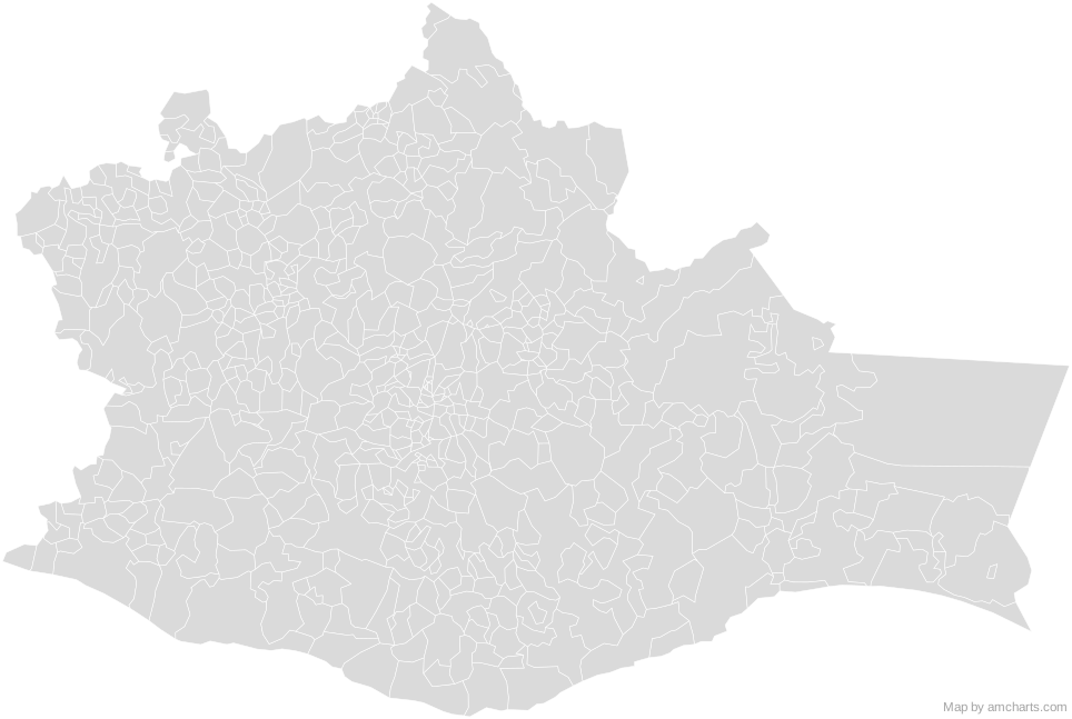 Oaxaca MunicipalitiesMexico Municipalities
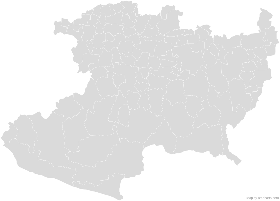 Michoacan MunicipalitiesMexico Municipalities
 Puebla MunicipalitiesMexico Municipalities
 State of Mexico MunicipalitiesMexico Municipalities
 Morelos MunicipalitiesMexico Municipalities
 Mexico City BoroughsMexico Municipalities
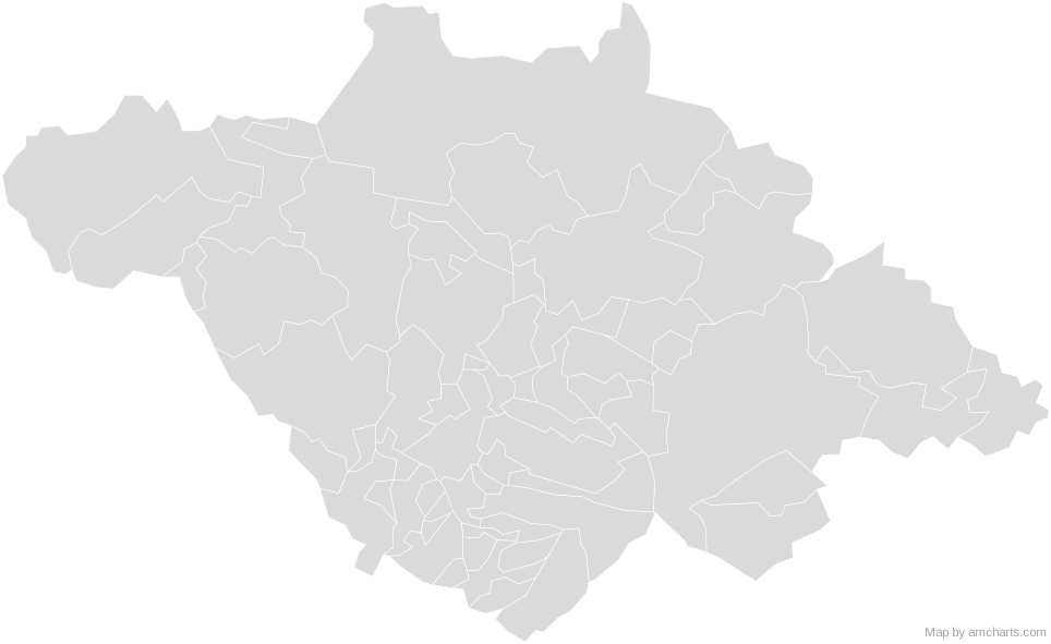 Tlaxcala MunicipalitiesMexico Municipalities
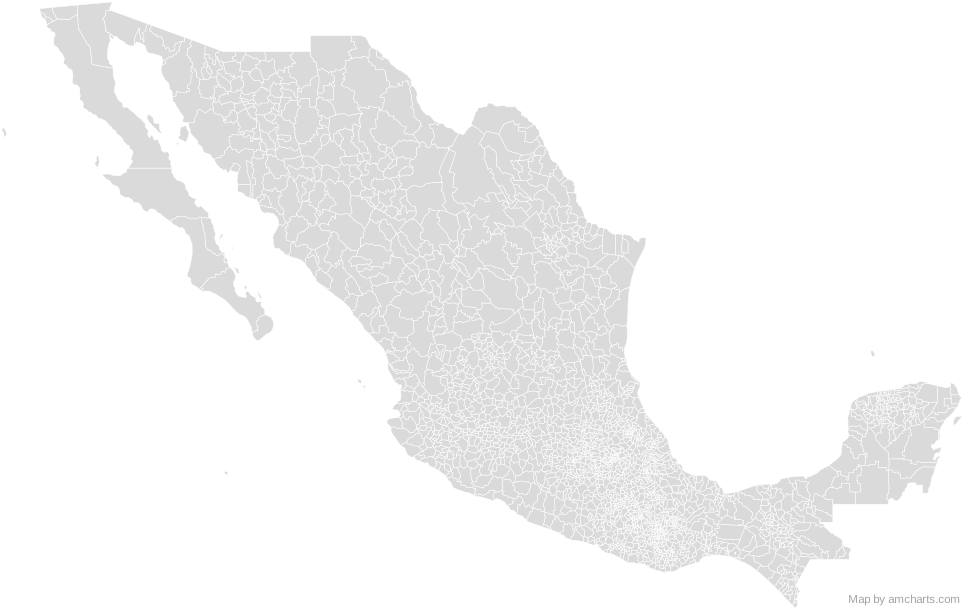 Mexico Municipalities
Can I use this map commercially?
Yes, for free, as long as you keep the amCharts credit (CC BY 4.0). To use maps without the credit, get the SVG Maps pack: all 427 maps for $99, one payment.
Which projection is it in?
Mercator, fitted to the map's own bounds. For Equal Earth, Albers, orthographic and others, use the SVG Map Generator.
How are the regions identified?
Each region is its own <path> with an id (the ISO code where one exists) and a data-name, so you can style or script it directly.
Will it open in Figma, Illustrator or Inkscape?
Yes. It is plain SVG: no scripts, fonts or external references.